Day trips from Bihać: waterfalls, fortresses, Plitvice
Una National Park, Štrbački buk, Martin Brod, medieval fortresses, Plitvice Lakes and dozens of places along the river. For each one: distance from Bihać, how to get there, tickets, photos and a map.
-
2 foto

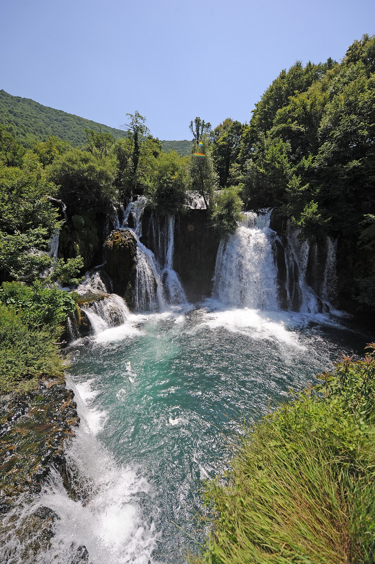
Una National Park · 14 km from Bihać
Nacionalni park Una – praktične informacije
Una National Park was founded on 29 May 2008 and protects the upper valleys of the…
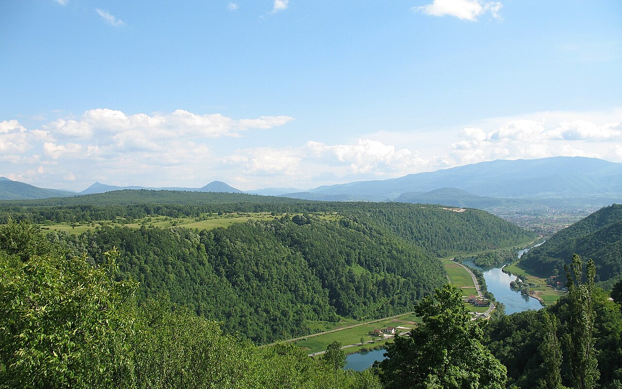
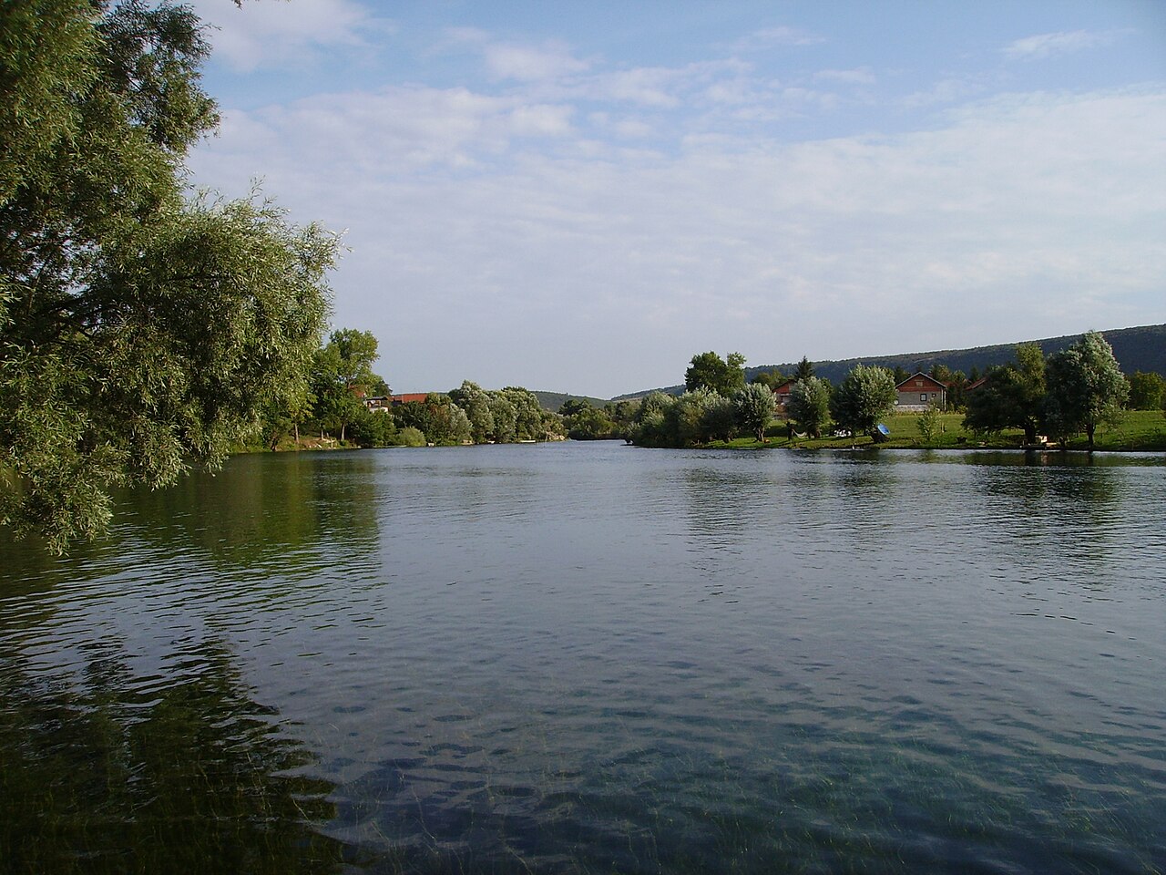
Una National Park was founded on 29 May 2008 and protects the upper valleys of the Una and Unac rivers, mostly within the City of Bihać with smaller parts in Bosanski Petrovac and Drvar. It borders Croatia and lies roughly 30 km from Plitvice Lakes. The headline sight is Štrbački buk, followed by the waterfalls and travertine cascades of Martin Brod, Ostrovica fortress above Kulen Vakuf and Rmanj Monastery. There are six entrances: Gorjevac (1), Ćukovi (2, walkers and cyclists only), Ćelije (3, from Orašac towards Štrbački buk), Račić (4, currently closed), Martin Brod (5) and Lohovo (6, closest to Bihać). Tickets are priced by season, children under seven enter free and visitor insurance is included. Rafting, kayaking, diving and fishing need separate permits and local operators. Allow a full day and bring cash, water and good shoes.
- Opening hours
- NP Una (prema johnbills.com, godina nije navedena): nov–feb 10–15, mar 10–16, apr–maj 9–18, jun–avg 9–20, sep 9–19, 1.–15. okt 9–18, 16.–31. okt 9–17 h.
- Admission
- Cjenovnik NP Una 2026: odrasli 8 / 12 / 16 / 20 KM (jan-feb-dec / mar-apr-nov / maj-jun-sep-okt / jul-avg); djeca 7–14 god. 6 / 7,5 / 9 / 12 KM; djeca do 7 god. besplatno; penzioneri 65+ 2 / 4 / 6 / 8 KM. Paket Štrbački buk + Milančev buk (odrasli) 10 / 15 / 20 / 25 KM. Niže 'loyalty' cijene za rezidente BiH.
- Time needed
- cijeli dan
- Getting there
- Entrance 1 Gorjevac is on the M-5 road towards Bosanski Petrovac, 14 km from central Bihać (30 km/h limit on that stretch). Entrance 6 Lohovo is the closest to town. Martin Brod (entrance 5) is about 50 km away. (~15 min)
-
3 foto
Una National Park · 28 km from Bihać
Štrbački buk
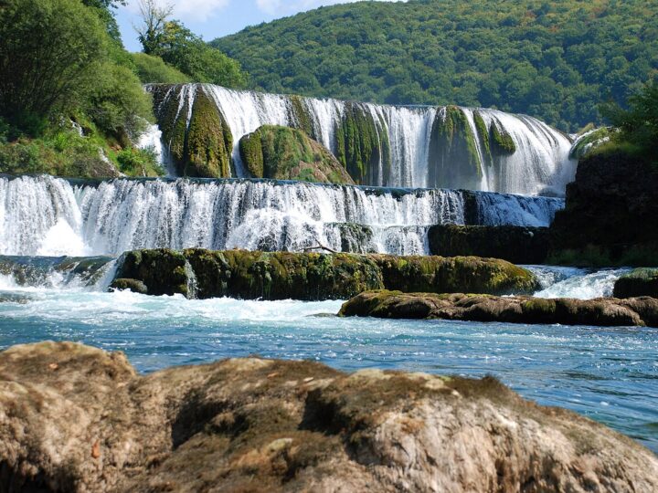
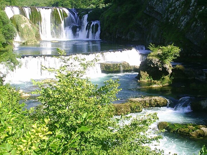
Štrbački buk is the tallest and best-known waterfall in Una National Park.
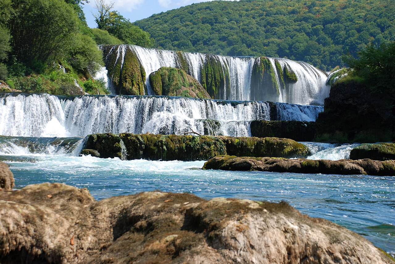
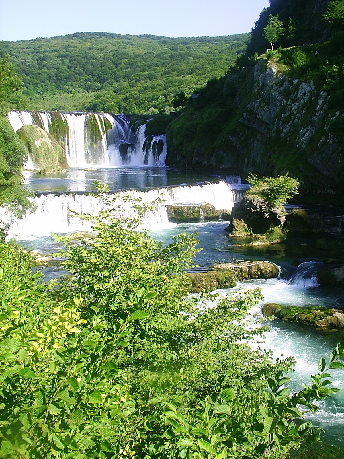
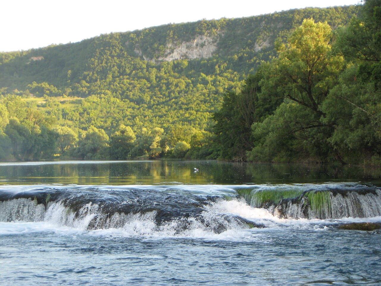
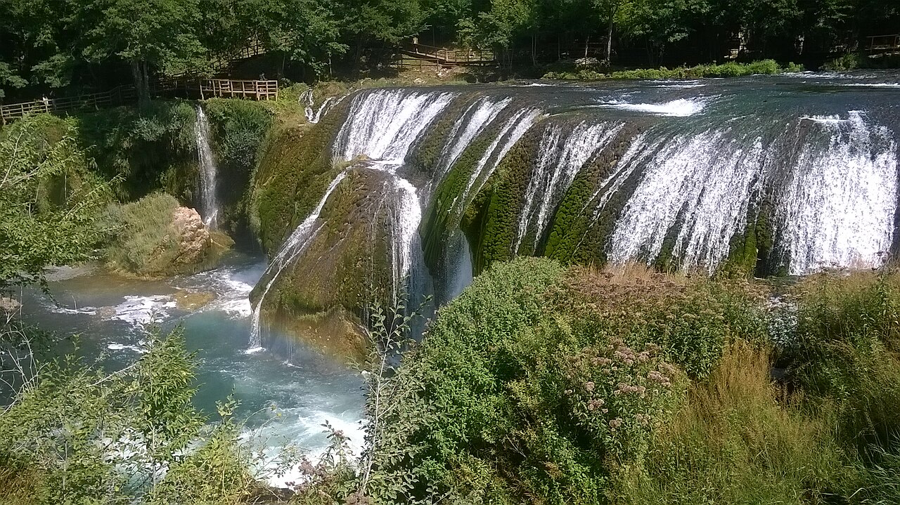
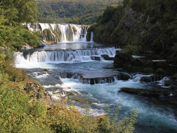
Štrbački buk is the tallest and best-known waterfall in Una National Park. The river drops about 25 metres over travertine steps, right on the border between Bosnia and Herzegovina and Croatia, south of Doljani. Lonely Planet calls it a strong contender for the country's most impressive waterfall. A wooden boardwalk with several viewpoints circles the falls, so you can see them from different angles without getting soaked. Near the entrance there are benches, a picnic area and places to eat, and the most popular rafting section, down to Lohovo, starts just below the falls. Water levels peak in spring, when the roar is loudest; summer brings bigger crowds but the lushest scenery. One to two hours is enough for the falls themselves, but it combines easily with Ostrovica or Martin Brod for a full day. Bring cash for tickets and non-slip shoes on wet days.
- Opening hours
- NP Una (prema johnbills.com, godina nije navedena): nov–feb 10–15, mar 10–16, apr–maj 9–18, jun–avg 9–20, sep 9–19, 1.–15. okt 9–18, 16.–31. okt 9–17 h.
- Admission
- Cjenovnik NP Una 2026: odrasli 8 / 12 / 16 / 20 KM (jan-feb-dec / mar-apr-nov / maj-jun-sep-okt / jul-avg); djeca 7–14 god. 6 / 7,5 / 9 / 12 KM; djeca do 7 god. besplatno; penzioneri 65+ 2 / 4 / 6 / 8 KM. Paket Štrbački buk + Milančev buk (odrasli) 10 / 15 / 20 / 25 KM. Niže 'loyalty' cijene za rezidente BiH.
- Time needed
- pola dana
- Getting there
- From Bihać take the M-5 towards Bosanski Petrovac to the Gorjevac entrance (14 km), then follow signs to the falls. Access via Orašac village (entrance 3, Ćelije) is recommended; the road from Martin Brod is in poor condition. The last few kilometres may be under construction. On foot or by bike: 4.5 km from the Ćukovi entrance. (~35 min)
-
3 foto


Una National Park · 50 km from Bihać
Slapovi Martin Broda
Martin Brod is a village in the south of Una National Park where the Unac flows…
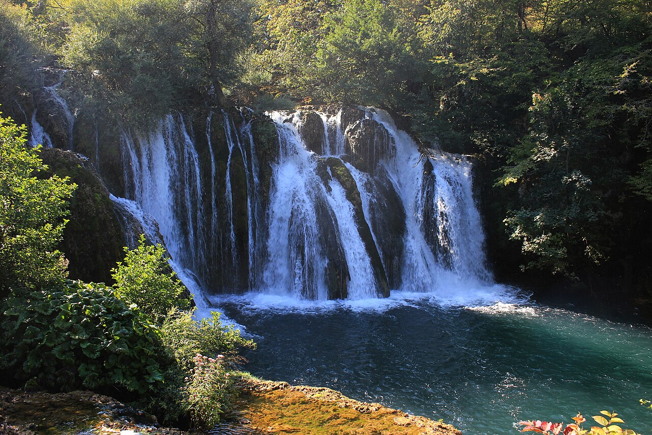
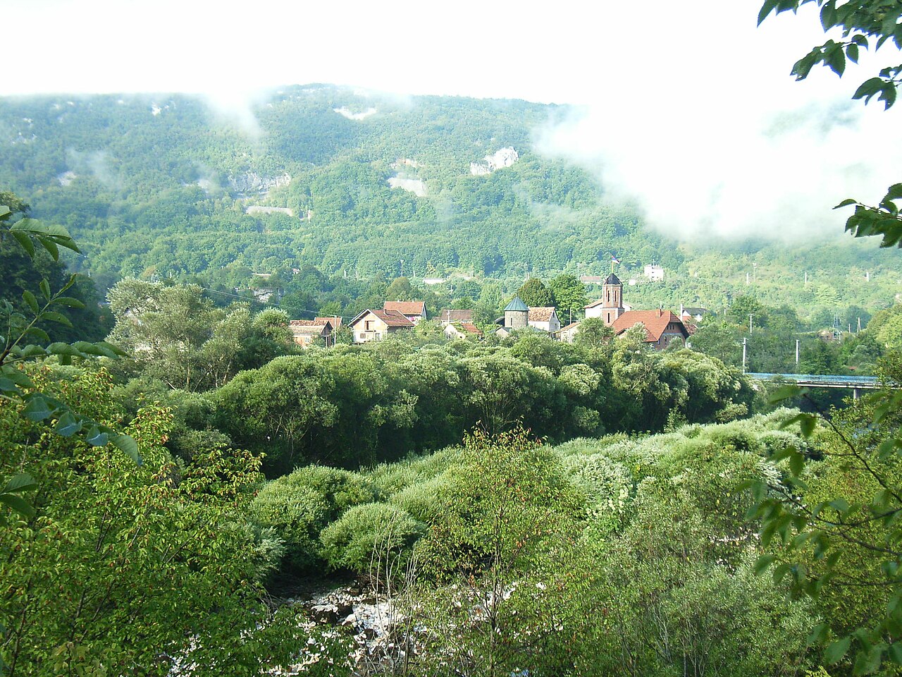
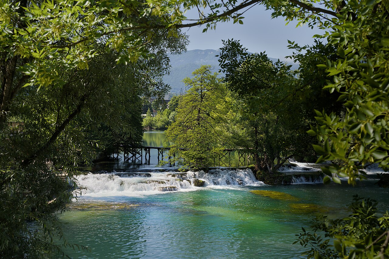
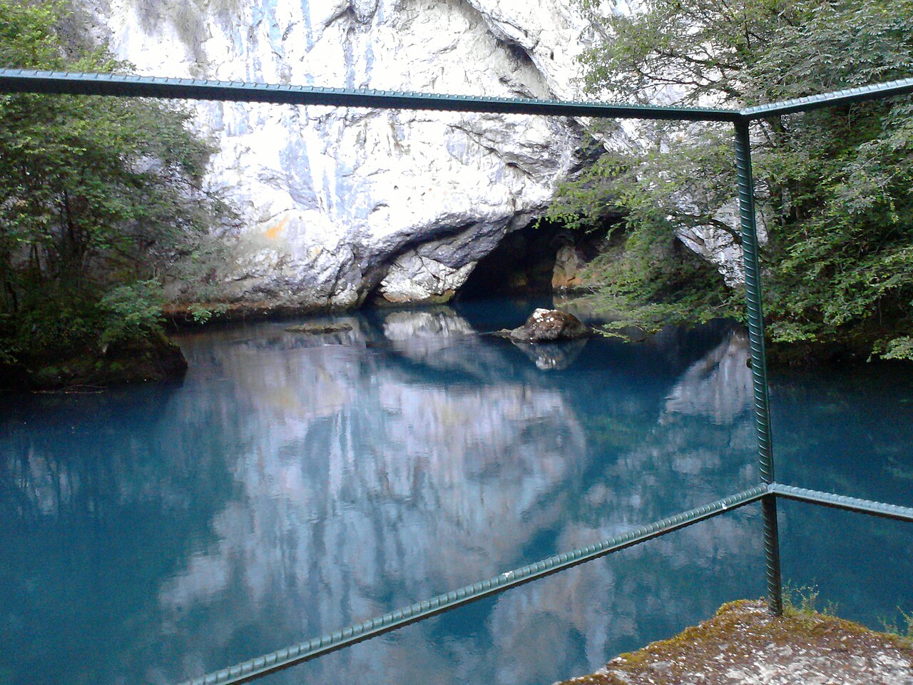
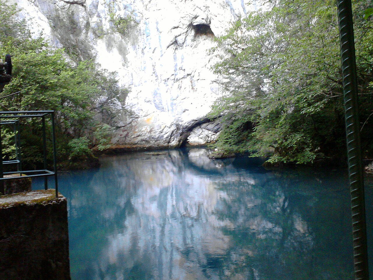
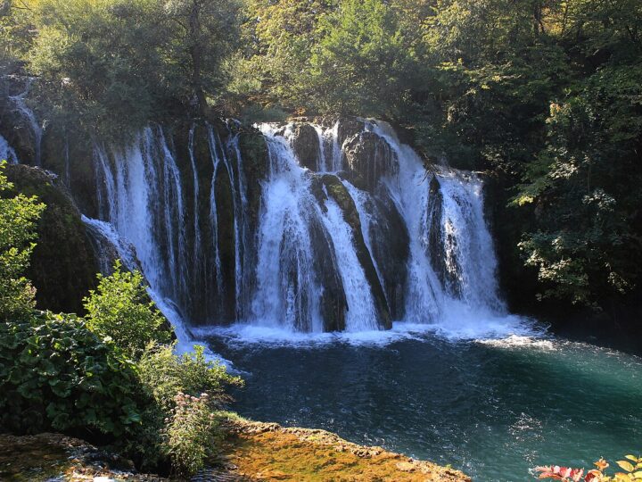
Martin Brod is a village in the south of Una National Park where the Unac flows into the Una. Here the river forms a maze of travertine barriers, cascades and small waterfalls with a total drop of about 54 metres, spreading into dozens of channels between houses, mills and trees. Footpaths, small bridges and picnic benches run through the area and old watermills still stand by the water. Martin Brod is also known for fly fishing, and the remains of medieval Rmanj fortress and Rmanj Monastery are close by. For an easy walk, a path of about 2 km from the bridge near the monastery leads to the Unac tunnel, home to bats. It is loveliest in late spring and summer, when the water turns turquoise. A quieter alternative to Štrbački buk and a great place for a whole day by the river.
- Opening hours
- NP Una (prema johnbills.com, godina nije navedena): nov–feb 10–15, mar 10–16, apr–maj 9–18, jun–avg 9–20, sep 9–19, 1.–15. okt 9–18, 16.–31. okt 9–17 h.
- Admission
- Ulaz br. 5 (Milančev buk) – vidi posebnu stavku; paket Štrbački buk + Milančev buk odrasli 10–25 KM po sezoni (cjenovnik NP Una 2026).
- Time needed
- cijeli dan
- Getting there
- From Bihać take the M-5 towards Bosanski Petrovac, turn off towards Kulen Vakuf and follow the Una to Martin Brod (about 50 km). Direct buses also run from Bihać bus station. (~60 min)
-
Una National Park · 50 km from Bihać
Milančev buk (Martin Brod)
Milančev buk is the waterfall in the heart of Martin Brod and the focus of Una…
Milančev buk is the waterfall in the heart of Martin Brod and the focus of Una National Park's entrance no. 5, which also covers nearby Jalački buk. It is smaller than Štrbački buk, but many find it just as beautiful: water spills over travertine steps into calm green-blue pools, crossed by a wooden ramp that lets you see everything up close. There is a restaurant by the entrance and a picnic area nearby. Travellers report that even in August it can be much quieter than Štrbački buk in the afternoon. A visit takes about an hour, so it pairs easily with Rmanj Monastery, a walk to the Unac confluence and lunch by the river. If you plan both big waterfalls in one day, the combined ticket is worth it. Bring a camera – late afternoon light brings out the colour of the water.
- Opening hours
- NP Una (prema johnbills.com, godina nije navedena): nov–feb 10–15, mar 10–16, apr–maj 9–18, jun–avg 9–20, sep 9–19, 1.–15. okt 9–18, 16.–31. okt 9–17 h.
- Admission
- Samostalna cijena za ulaz br. 5 nije navedena u cjenovniku 2026; paket Štrbački buk + Milančev buk: odrasli 10 / 15 / 20 / 25 KM, djeca 7–14 god. 8 / 10 / 12 / 15 KM po sezoni; djeca do 7 god. besplatno (NP Una 2026).
- Time needed
- 1–2 sata
- Getting there
- As for Martin Brod (about 50 km from Bihać); entrance no. 5 is in the village by the river. (~60 min)
-
2 foto

Religious sites · 50 km from Bihać
Manastir Rmanj
Rmanj Monastery stands on the left bank of the Unac, where it meets the Una at…
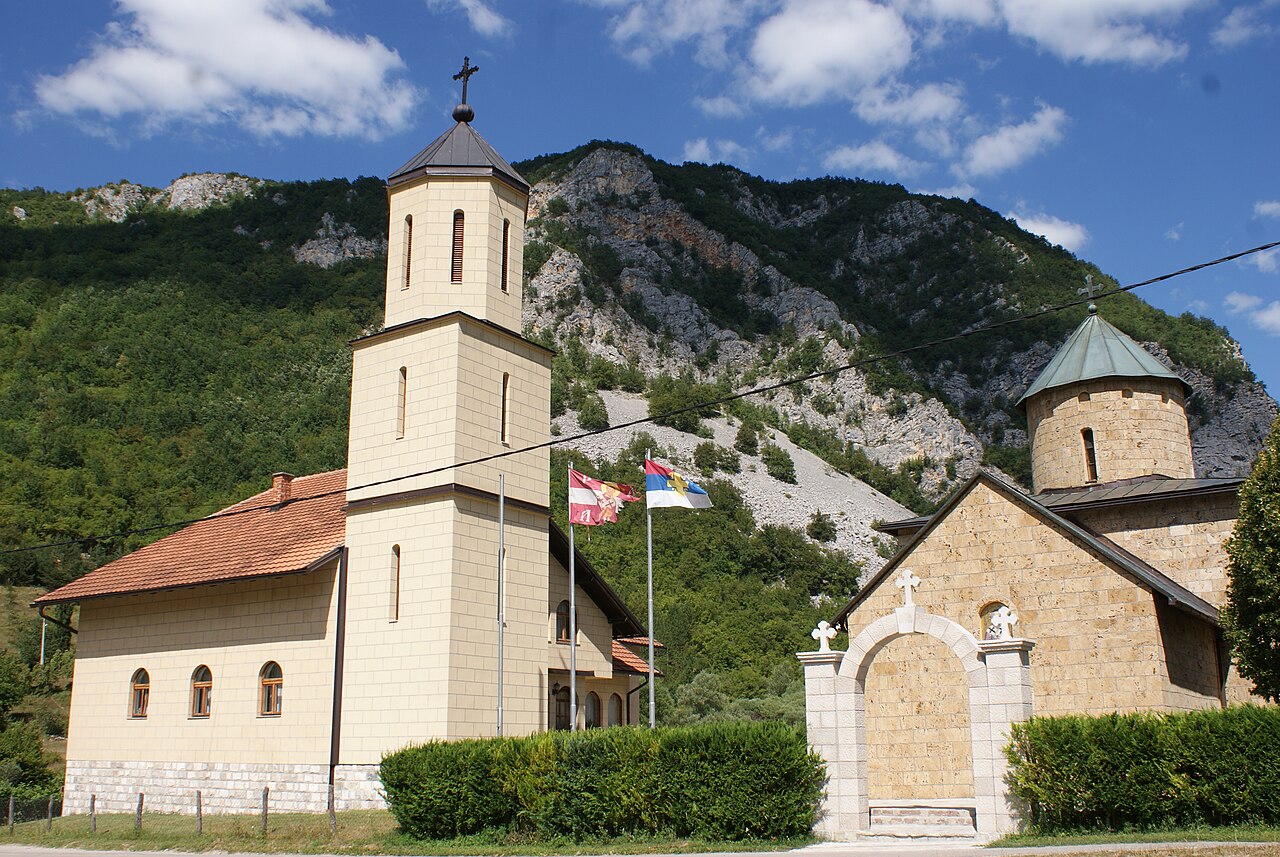
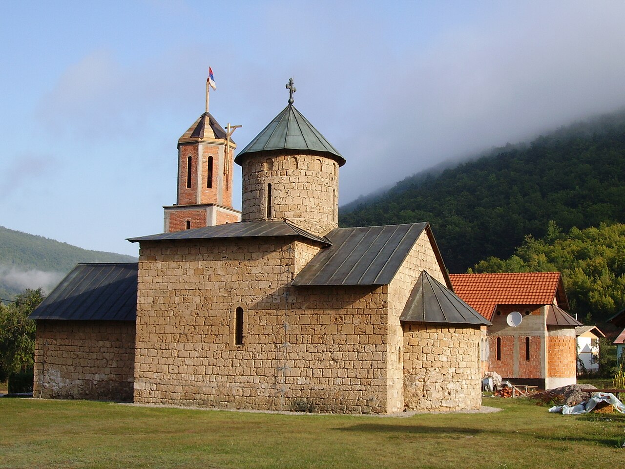
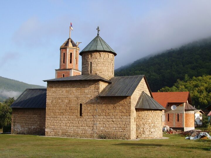
Rmanj Monastery stands on the left bank of the Unac, where it meets the Una at Martin Brod. Its exact founding date is unknown, but the first written mention dates from 1498. In the late 16th and early 17th centuries it was the seat of the Metropolitanate of Dabro-Bosnia, and over its turbulent history it was burned, rebuilt and damaged several times – in the Second World War it was completely destroyed in 1944. Rebuilding was permitted in 1974, the church was finished in the 1980s and the monks' quarters in 2006. Today Rmanj is a National Monument of Bosnia and Herzegovina, and remains of its original frescoes survive. The ruins of medieval Rmanj fortress overlook the confluence. Dress modestly and respect the community living here. Combine it with Milančev buk and the walk to the Unac tunnel.
- Time needed
- 1 sat
- Getting there
- As for Martin Brod (about 50 km); the monastery is by the bridge over the Unac at the edge of the village. (~60 min)
-
2 foto


Una National Park · 44 km from Bihać
Kulen Vakuf
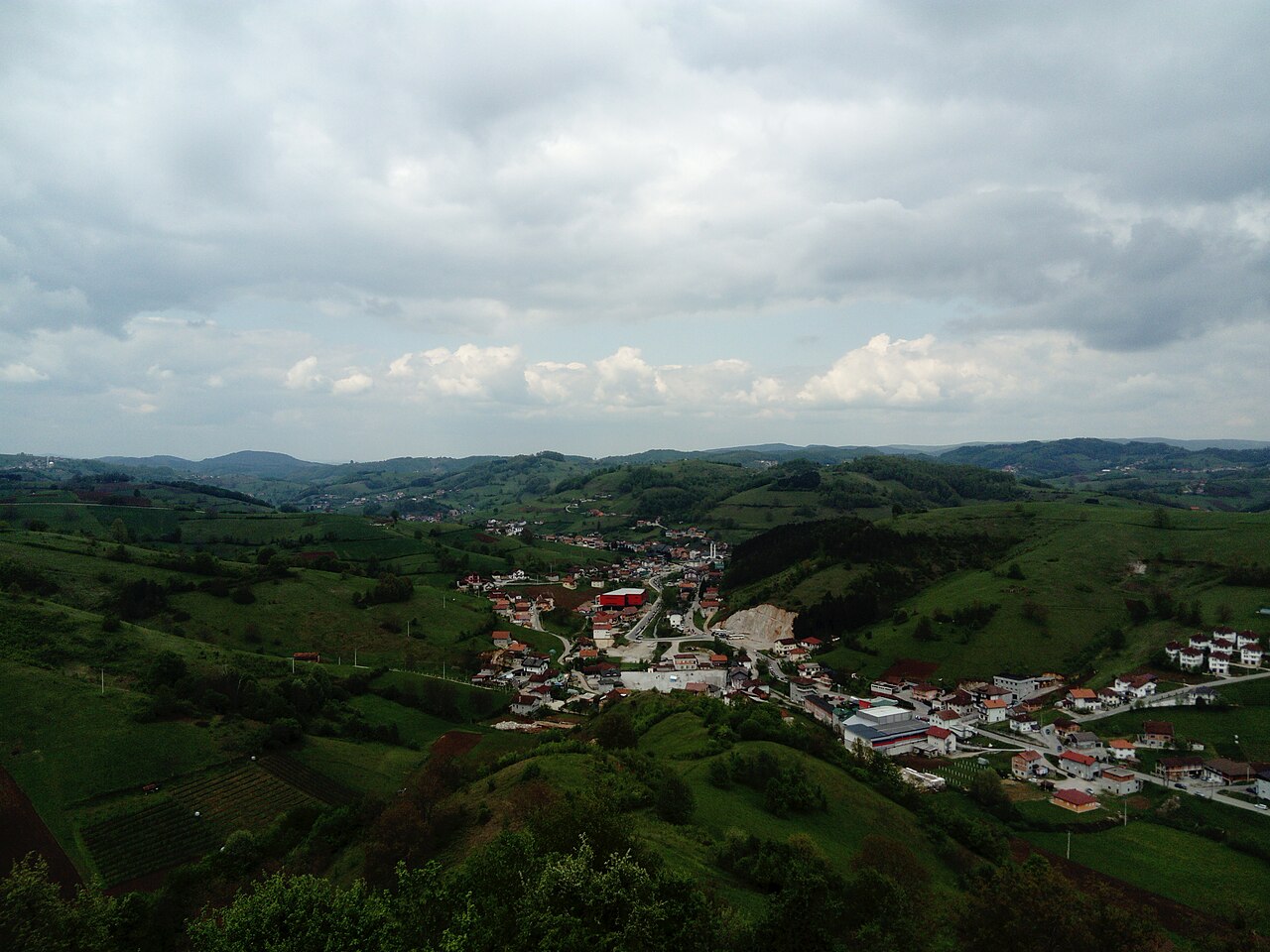
Kulen Vakuf is a small settlement on the Una in the south of the City of…
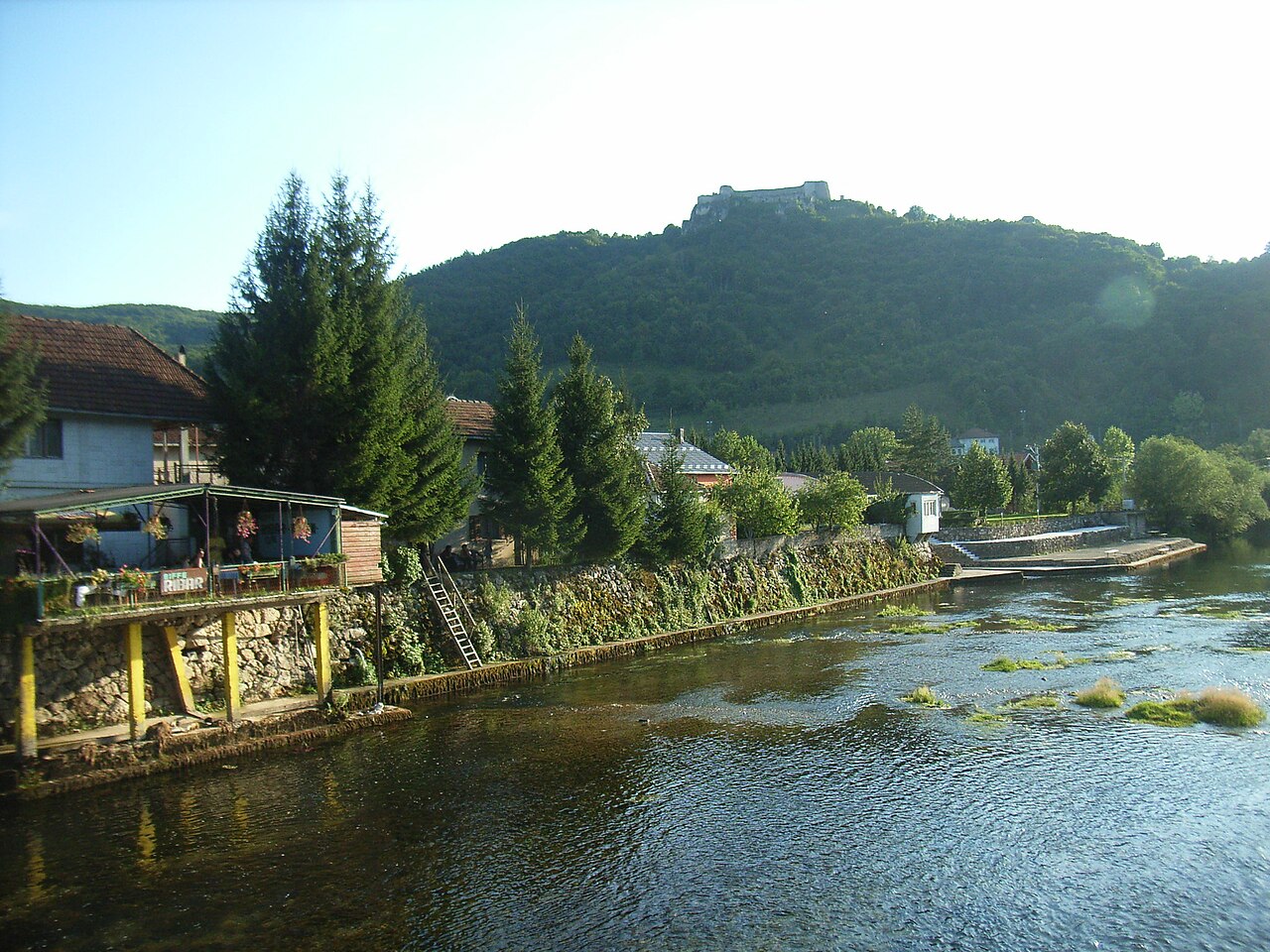
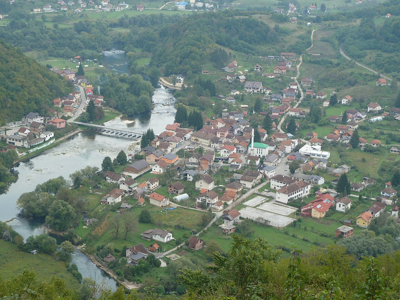
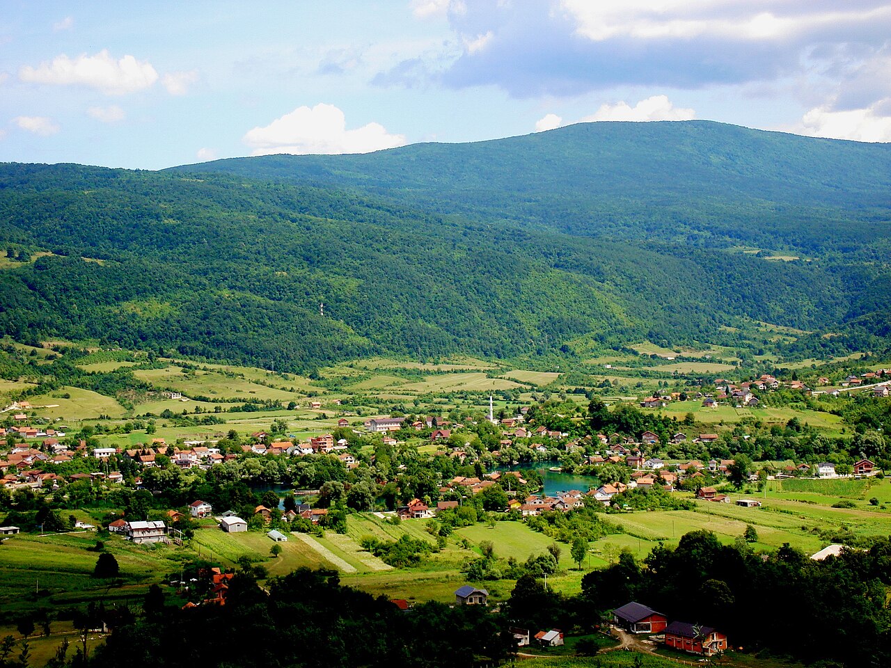
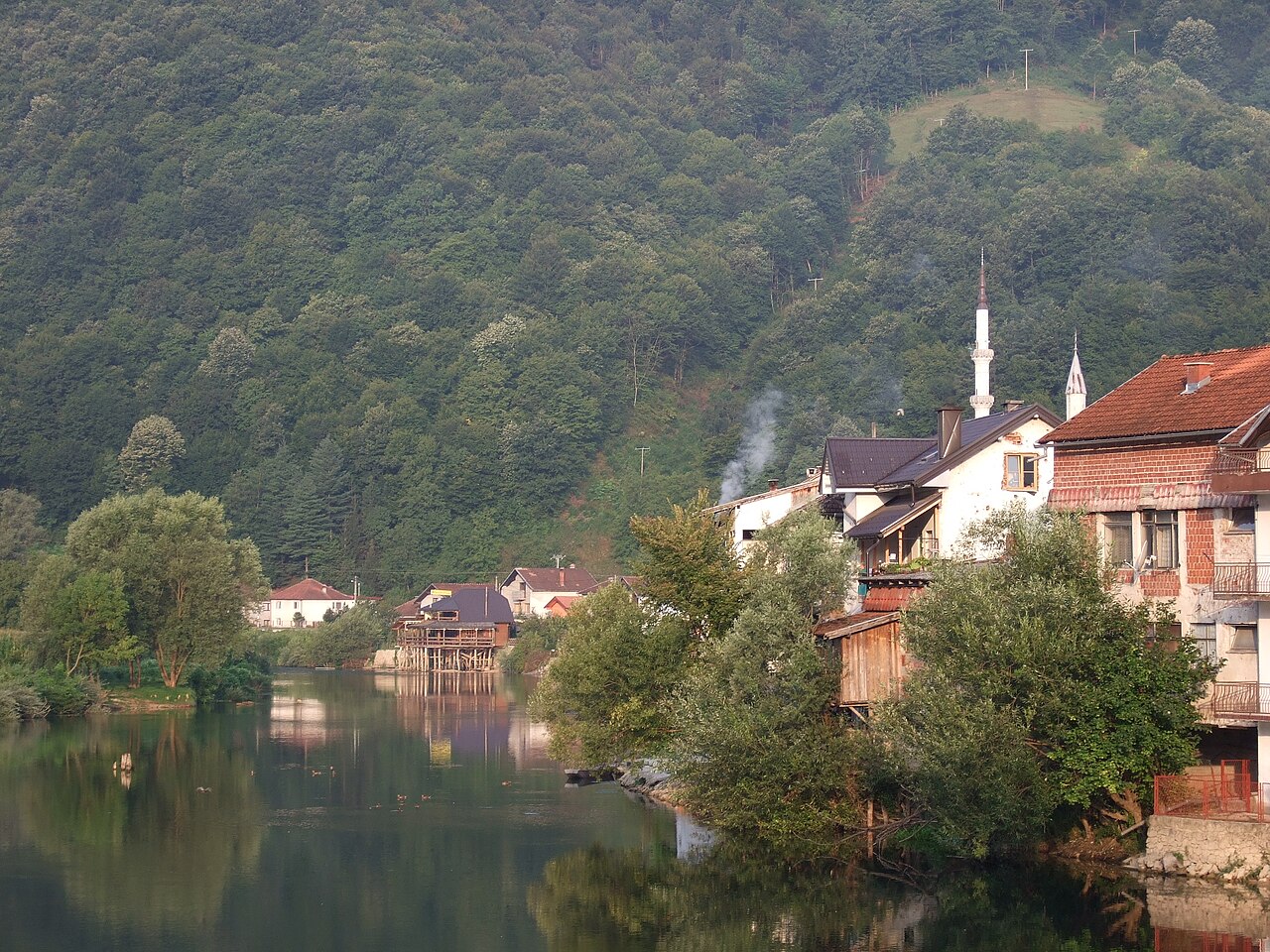
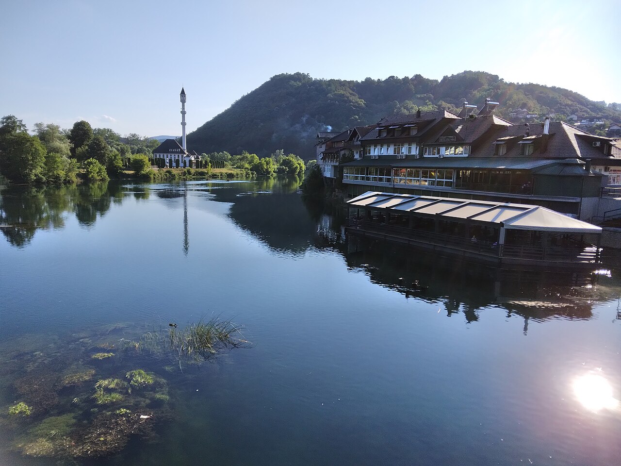
Kulen Vakuf is a small settlement on the Una in the south of the City of Bihać and the largest built-up place inside Una National Park, where the park's administrative centre is based. Ostrovica fortress stands on a wooded ridge above the village, and the hiking path up starts here. The village has the Sultan Ahmed I Mosque, a few cafés and places to stay, plus campsites on the riverbank. It makes a good base for the southern part of the park: Martin Brod is close, and the Martin Brod – Kulen Vakuf stretch is one of the official routes for rafting, kayaking and canoeing. Fishing zone 1B Kulen Vakuf is reserved for catch-and-release fly fishing, and the park's info point (Unska bb) sells fishing permits. The village is the home of the Kulenović family, historic captains of Ostrovica.
- Admission
- Mjesto bez ulaznice; rafting/kajak Martin Brod – Kulen Vakuf (naknada parka, bez opreme): 6 / 8 / 10 / 12 KM po sezoni (NP Una 2026).
- Time needed
- pola dana
- Getting there
- From Bihać take the M-5 towards Bosanski Petrovac and turn off for Kulen Vakuf. Six direct buses a day run from Bihać. (~55 min)
-
Stay in Bihać from €25 a nightA whole apartment for the price of a room, pay cash on arrival. Message us and we will also tell you where to eat, go out and what to see.
-
2 foto


Fortresses & history · 45 km from Bihać
Tvrđava Ostrovica
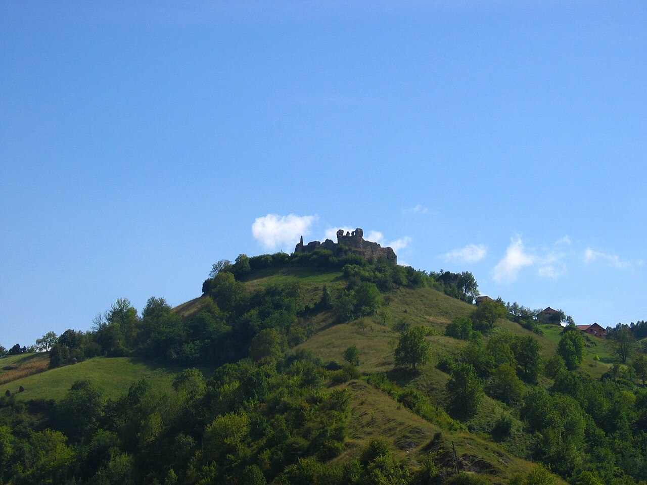
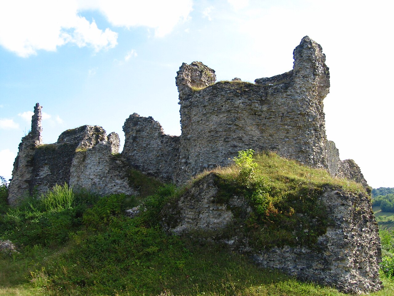
Ostrovica is a medieval fortress on a wooded ridge above Kulen Vakuf, overlooking the left bank…
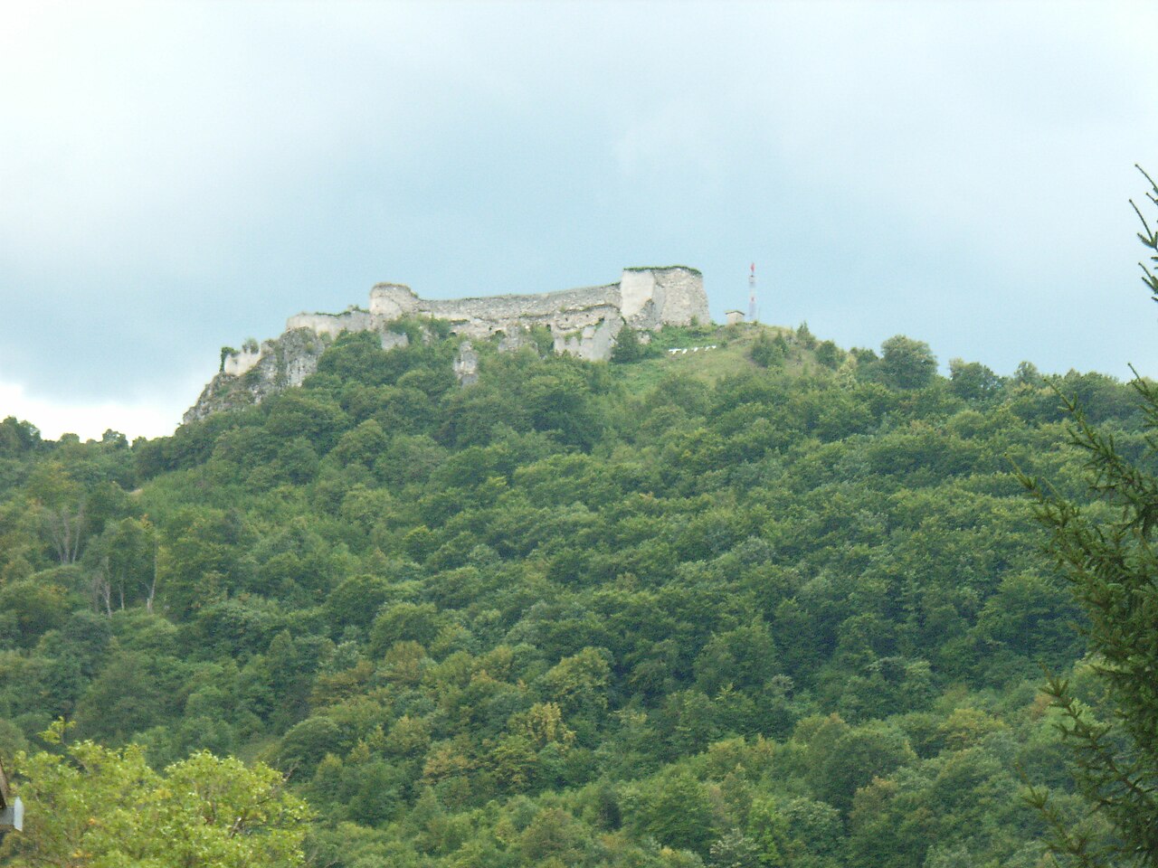
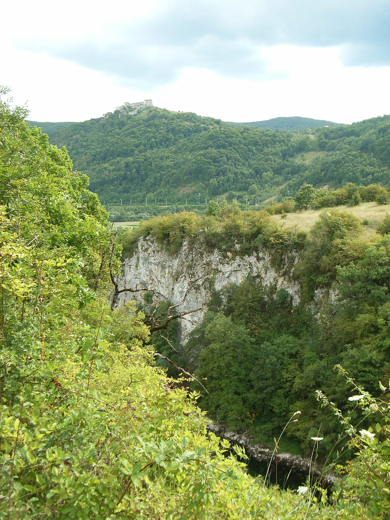
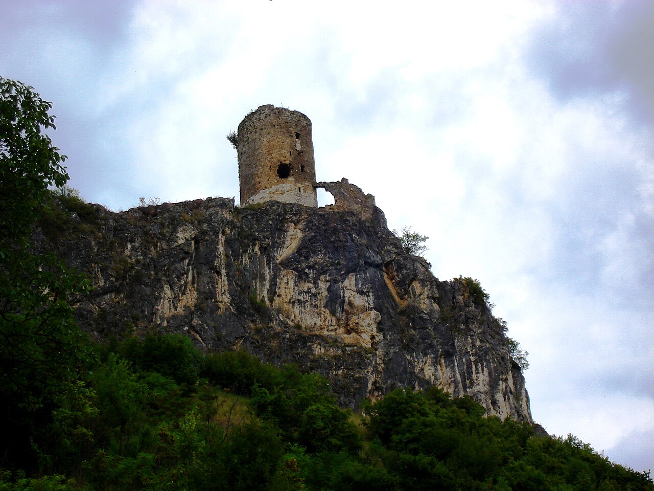
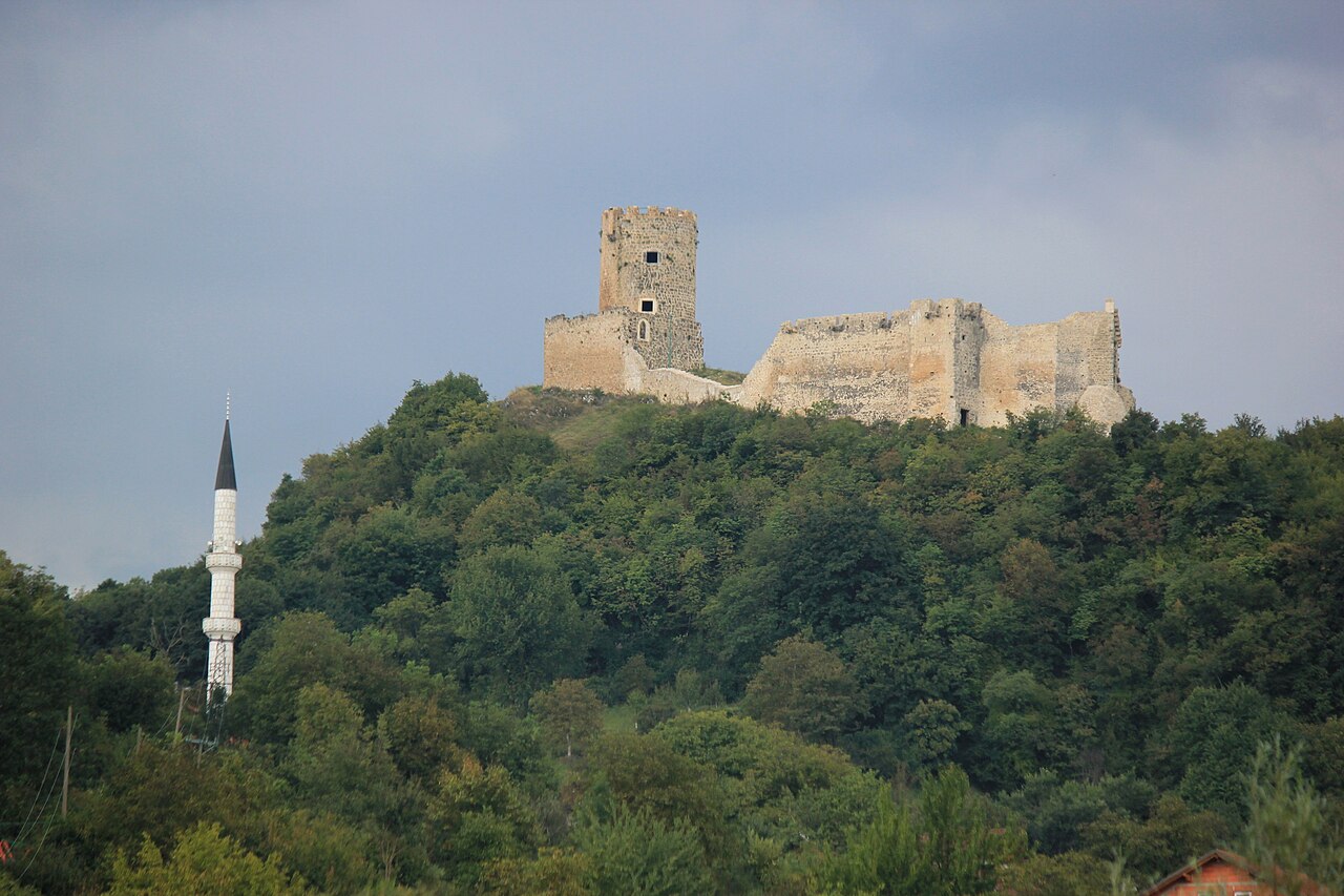
Ostrovica is a medieval fortress on a wooded ridge above Kulen Vakuf, overlooking the left bank of the Una. It controlled the route between the northern and southern parts of the valley and was probably built in the 15th century on older foundations. It is first recorded in 1407 as the property of Bosnian magnate Sandalj Hranić, who sold it to Venice around 1409–1410. Later owners included the Kurjaković family and the Frankopans, and the Ottomans took it in 1523. Under Ottoman rule it was enlarged and became the seat of a captaincy, often held by the Kulenović family; it withstood several sieges and was abandoned in 1878. Today it is a national monument within Una National Park, partly restored. The climb from Kulen Vakuf rewards you with one of the finest views of the Una valley. Start early in summer and bring water and sturdy shoes.
- Admission
- Cijena nije navedena u cjenovniku NP Una 2026.
- Time needed
- pola dana
- Getting there
- Drive to Kulen Vakuf (see Kulen Vakuf), then follow the footpath from the village up to the fortress. (~55 min)
-
Una National Park
Lohovo, Troslap i Dvoslap
Lohovo is entrance no.
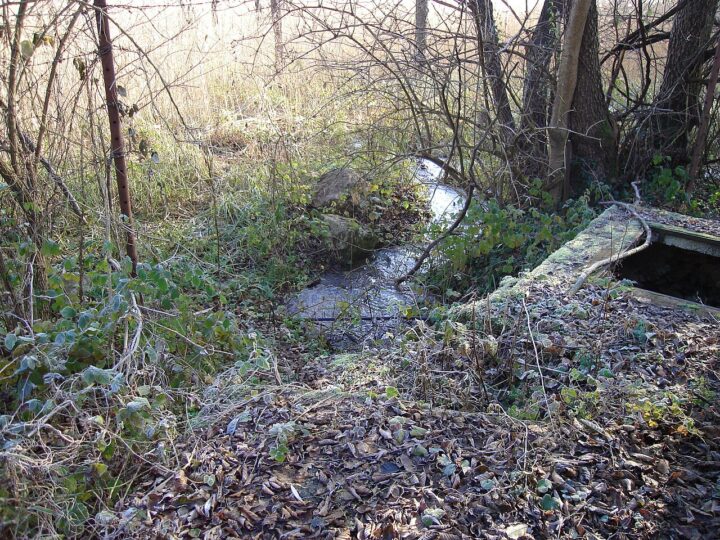
Lohovo is entrance no. 6 of Una National Park and the park's closest point to Bihać. Here the Una flows through a series of waterfalls and willow-lined channels, best known among them Troslap and Dvoslap, downstream of Štrbački buk. A forest footpath of about 2 km links the two – an easy family walk. Lohovo is also the hub for river activities: most rafting agencies have their bases near the entrance, and the Štrbački buk – Lohovo stretch is considered the most attractive for rafting and kayaking. You can rent boats and bikes, and there are restaurants, apartments, a small campsite, an eco-village and a children's play area. Tickets here are the cheapest in the park. Come in the morning or early evening for the softest light on the water; on hot summer afternoons the shade by the river is a welcome relief.
- Opening hours
- NP Una (prema johnbills.com, godina nije navedena): nov–feb 10–15, mar 10–16, apr–maj 9–18, jun–avg 9–20, sep 9–19, 1.–15. okt 9–18, 16.–31. okt 9–17 h.
- Admission
- Najjeftiniji ulaz u park – stariji izvor (getbybus) navodi 2 KM; rafting/kajak Troslap – Dvoslap (naknada parka): 5 / 6 / 7 / 8 KM po sezoni (NP Una 2026).
- Time needed
- pola dana
- Getting there
- From Bihać head south along the Una valley via Ripač to Lohovo (entrance no. 6, closest to town).
-
2 foto


Activities
Ćukovi – pješački i biciklistički ulaz
Ćukovi is a village on the road to Kulen Vakuf and the site of Una National…
Ćukovi is a village on the road to Kulen Vakuf and the site of Una National Park's entrance no. 2, which is reserved for walkers and cyclists. No motor vehicles are allowed, making it the calmest way to reach Štrbački buk: about 4.5 km through forest and along the river. The route continues towards Kulen Vakuf and Martin Brod, so it also suits longer bike rides. You can get to Ćukovi by the local bus from Bihać towards Kulen Vakuf, which leaves from the "Bedem" stop rather than the bus station – a good option for guests without a car. Carry enough water, as there are few places to eat along the way, and plan to return the same way or arrange transport in advance.
- Opening hours
- NP Una (prema johnbills.com, godina nije navedena): nov–feb 10–15, mar 10–16, apr–maj 9–18, jun–avg 9–20, sep 9–19, 1.–15. okt 9–18, 16.–31. okt 9–17 h.
- Admission
- Ulaz u zonu Štrbačkog buka – vidi cjenovnik NP Una 2026.
- Time needed
- pola dana
- Getting there
- From Bihać towards Kulen Vakuf; the local bus from the Bedem stop calls at Ćukovi (about five departures a day – check the timetable).
-
2 foto

Fortresses & history · 5 km from Bihać
Ripač – japodsko naselje na Uni
Ripač is a village about 5 km from Bihać in the Una valley and the centre…
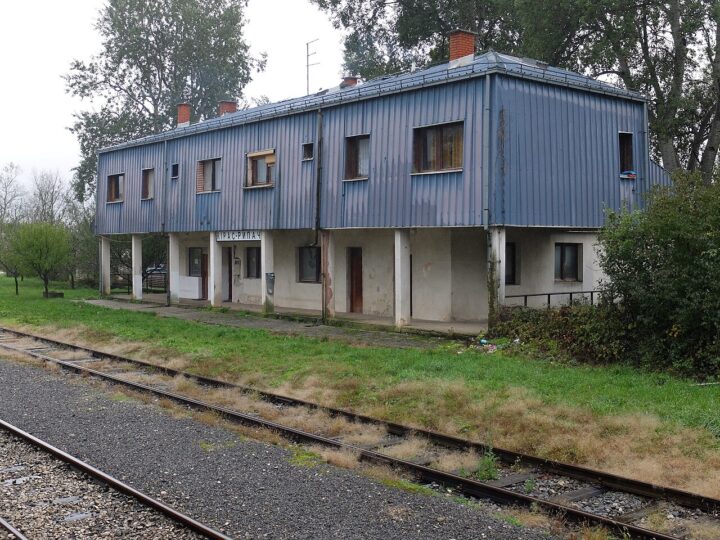
Ripač is a village about 5 km from Bihać in the Una valley and the centre of Iapydian (Japod) culture in the area. The Iapydes were an Illyrian people who, in the last millennium BC, lived along the middle Una and in parts of Lika, Gorski Kotar and Bela Krajina. Rare pile-dwelling settlements were found at Ripač – wooden houses raised over water on oak posts – a type seldom seen in the Balkans. The Gradina site yielded terracotta figures, an engraved deer head and a snake on a pottery fragment. Ripač also appears as an Austrian stronghold in 1530, and at the entrance to the old village stands a graveyard with three large 18th-century tombstones. Today it is a quiet riverside village with a border crossing to Croatia and restaurants on the water – ideal for a short trip, a swim and dinner by the Una.
- Time needed
- 2–3 sata
- Getting there
- From Bihać head south along the Una, about 5 km. (~5 min)
-
2 foto

Nature · 13 km from Bihać
Japodski otoci
Japodski otoci (the Iapydian Islands) are a group of five islands among the rapids and small…
Japodski otoci (the Iapydian Islands) are a group of five islands among the rapids and small falls of the Una at Račić, south-east of Bihać, within the Una National Park area. The islands are linked by side channels and little waterfalls and host a family campsite with tent and caravan pitches and wooden cabins, plus a restaurant serving traditional Bosnian food. It is a family favourite: there is open space for children, hammocks, and organised rafting, fishing, hiking, cycling and boating. Even if you don't stay overnight, come for lunch or coffee by the rushing water and a walk across the islands. On hot summer afternoons it is the perfect escape from the heat of town. Evenings are relaxed, with entertainment in season. Booking ahead is recommended in summer.
- Opening hours
- Check-in kampa od 14 h, check-out do 10 h.
- Admission
- Ulaz na otoke nije naveden; kamp i restoran po cjenovniku objekta.
- Time needed
- pola dana
- Getting there
- From Bihać head south along the Una valley to Račić; about 25 minutes' drive. (~25 min)
-
3 foto


Fortresses & history · 7 km from Bihać
Golubić – rimski Mitrin hram
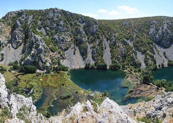
Golubić is a village near Bihać on the Una, known for one of the region's more…
Golubić is a village near Bihać on the Una, known for one of the region's more intriguing Roman finds. A sanctuary of the god Mithras from the early 4th century AD was discovered here, and from it comes a two-sided relief carved in yellow limestone: one side shows Mithras slaying the bull, the other a ritual banquet. The relief itself is now kept in the Archaeological Museum in Zagreb, so there is no display on site, but Golubić shows how settled and important the Una valley was throughout antiquity – from the Iapydes to the Romans. Combine it with nearby Sokolac fortress, Pritoka and Ripač for an easy half-day loop by the river. History lovers should first visit the Captain's Tower museum in Bihać, which displays archaeological finds from the area.
- Time needed
- 1–2 sata
- Getting there
- A few kilometres south-east of Bihać along the Una. (~10 min)
-
3 foto
Nearby towns · 7 km from Bihać
Pritoka
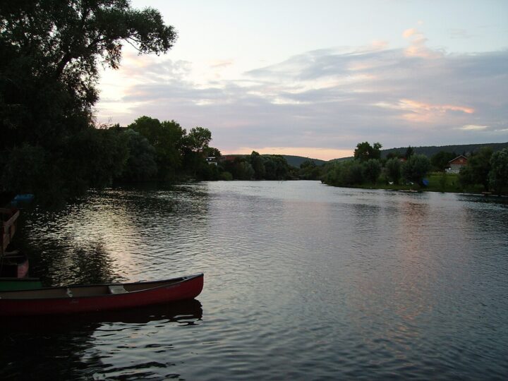
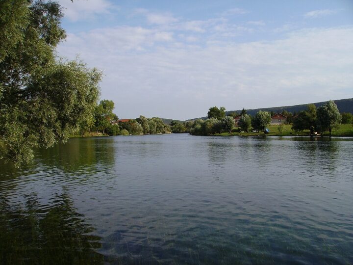
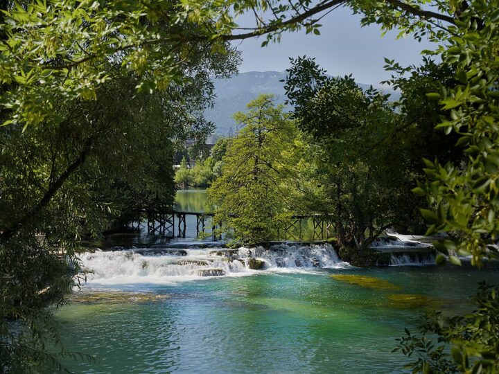
Pritoka is a village within the City of Bihać, east of the centre, close to Sokolac…
Pritoka is a village within the City of Bihać, east of the centre, close to Sokolac fortress and Golubić with its Roman Mithraeum site. The 2013 census counted about 680 residents. Pritoka is not a classic tourist attraction, but it is a handy stop on a short drive or bike ride from town: from here it is easy to continue to Sokolac and on towards Golubić and Ripač. For guests who like quiet country roads, it is a good start to a half-day loop through the Bihać countryside, away from the crowds. Combine it with a walk up to Sokolac and lunch by the Una in Ripač or at Japodski otoci. This area isn't in the guidebooks, which makes it ideal for guests who want to see everyday village life around Bihać on short drives and walks along country lanes. There are no marked trails yet, so use a map.
- Time needed
- 1–2 sata
- Getting there
- A few kilometres east/south-east of Bihać. (~10 min)
-
2 foto
Fortresses & history · 5 km from Bihać
Tvrđava Sokolac
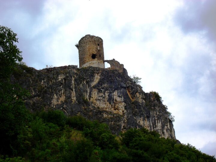
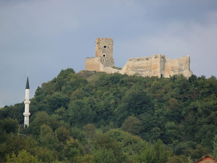
Sokolac, also called Sokol or Sokol-grad, is a medieval fortress by the village of the same…
Sokolac, also called Sokol or Sokol-grad, is a medieval fortress by the village of the same name just outside Bihać. The oldest known document about it dates from 1395. In the 15th century it featured in dynastic struggles in the Kingdom of Hungary, and after a series of battles during the Ottoman advance it fell together with Bihać in 1592. It is rarely mentioned afterwards and had a smaller garrison than nearby Ripač; it was in use from the 14th to the 19th century. The fortress was declared a national monument in 2008, but a 2010 assessment rated its condition as poor. That is exactly what makes it romantic and wild – ruins with views over the Bihać countryside. The visit is short; wear sturdy shoes and keep away from unstable walls. Spring and autumn are best, with soft light and milder heat.
- Time needed
- 1–2 sata
- Getting there
- A few kilometres south-east of Bihać towards Sokolac village. (~5 min)
-
Nature · 9 km from Bihać
Kostela i Kostelski buk
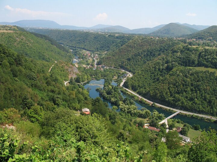
Kostela is a settlement downstream of Bihać where the Una tumbles over rocks to form Kostelski…
Kostela is a settlement downstream of Bihać where the Una tumbles over rocks to form Kostelski buk – a waterfall known for its clear water and green, wooded setting. About 9 km from town the river also passes the Kostela hydroelectric plant, built in 1952. The area is good for walks and relaxing in nature, and photographers like it most in spring and summer, when the flow is strongest. Kostela is also the start of the Una's second popular rafting section: Kostela to Salihovac, by the Bihać – Bosanska Krupa road, 12 km and around two hours on the water. Unlike the tougher stretch below Štrbački buk, this route suits beginners and families with children. There is a hotel with a restaurant by the falls, making Kostela a good lunch stop at the gateway to the Una canyon towards Bosanska Krupa.
- Admission
- Bez ulaznice za slap; rafting Kostela – Salihovac po cjenovniku agencije (Una Aquarius: uključuje vodiča, opremu, prevoz, osiguranje).
- Time needed
- 2–3 sata
- Getting there
- From Bihać take the road towards Bosanska Krupa, downstream along the Una, about 8–9 km. (~10 min)
-

Nature · 32 km from Bihać
Kanjon Une (Bihać – Bosanska Krupa)
Between Bihać and Bosanska Krupa the Una runs through a canyon about 27 km long and…
Between Bihać and Bosanska Krupa the Una runs through a canyon about 27 km long and around 150 m deep. A road follows the river the whole way, so the drive is an outing in itself: steep green slopes, rapids, small islands and occasional spots to stop and swim. Kostela and its waterfall mark the start of the canyon, and the popular Kostela – Salihovac rafting section, suitable for beginners and families, runs downstream. At the end of the canyon the Una enters Bosanska Krupa, where it spreads into cascades and islets linked by bridges. The canyon is lovely all year – in spring for the powerful water, in summer for swimming and shade, in autumn for the forest colours. Plan a few short stops and lunch in Bosanska Krupa, then return the same way or continue towards Bužim or Bosanska Otoka.
- Time needed
- pola dana
- Getting there
- From Bihać take the road to Bosanska Krupa; it runs through the canyon along the Una. (~40 min)
-
3 foto


Nature
Una u Bihaću – otoci i šetnja uz rijeku
The Una flows right through Bihać, forming a string of islands and cascades in the middle…
The Una flows right through Bihać, forming a string of islands and cascades in the middle of town: Gradska otoka, Ribićka otoka, Bakšaš island and the Jotanovi otoci group. Some are private, others serve as public bathing spots. The town dam known as "Beton" doubles as a walkway and a swimming spot when the water is low. A walk along the Una through the centre is the best introduction to Bihać: in an hour or two you'll see the clear, fast river and, on the way, the Fethija mosque, the Captain's Tower and the turbe, all a few minutes from the bank. In summer people swim, fish and relax on the grass, and in the evening the riverside café terraces are the nicest place in town. It's free, suits all ages and is perfect for your first or last day. In spring the river is at its fullest and loudest.
- Opening hours
- Cijele godine; kupanje ljeti.
- Admission
- Besplatno.
- Time needed
- 1–2 sata
- Getting there
- In the town centre – on foot.
-
2 foto
Fortresses & history
Kapetanova kula i muzej
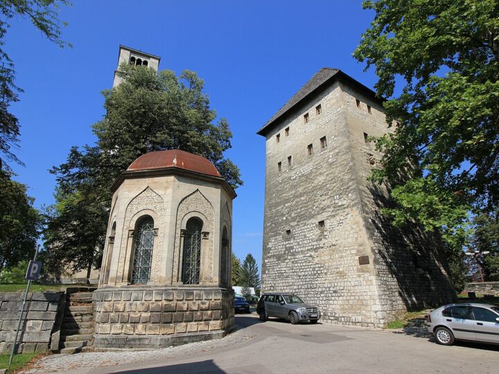
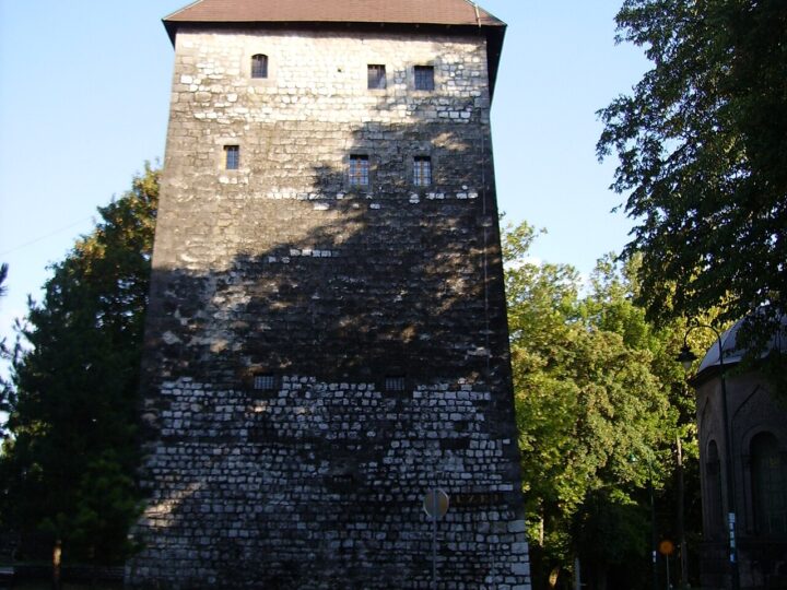
The Captain's Tower (Kapetanova kula) is a square stone tower, about 10 × 10 m, in…
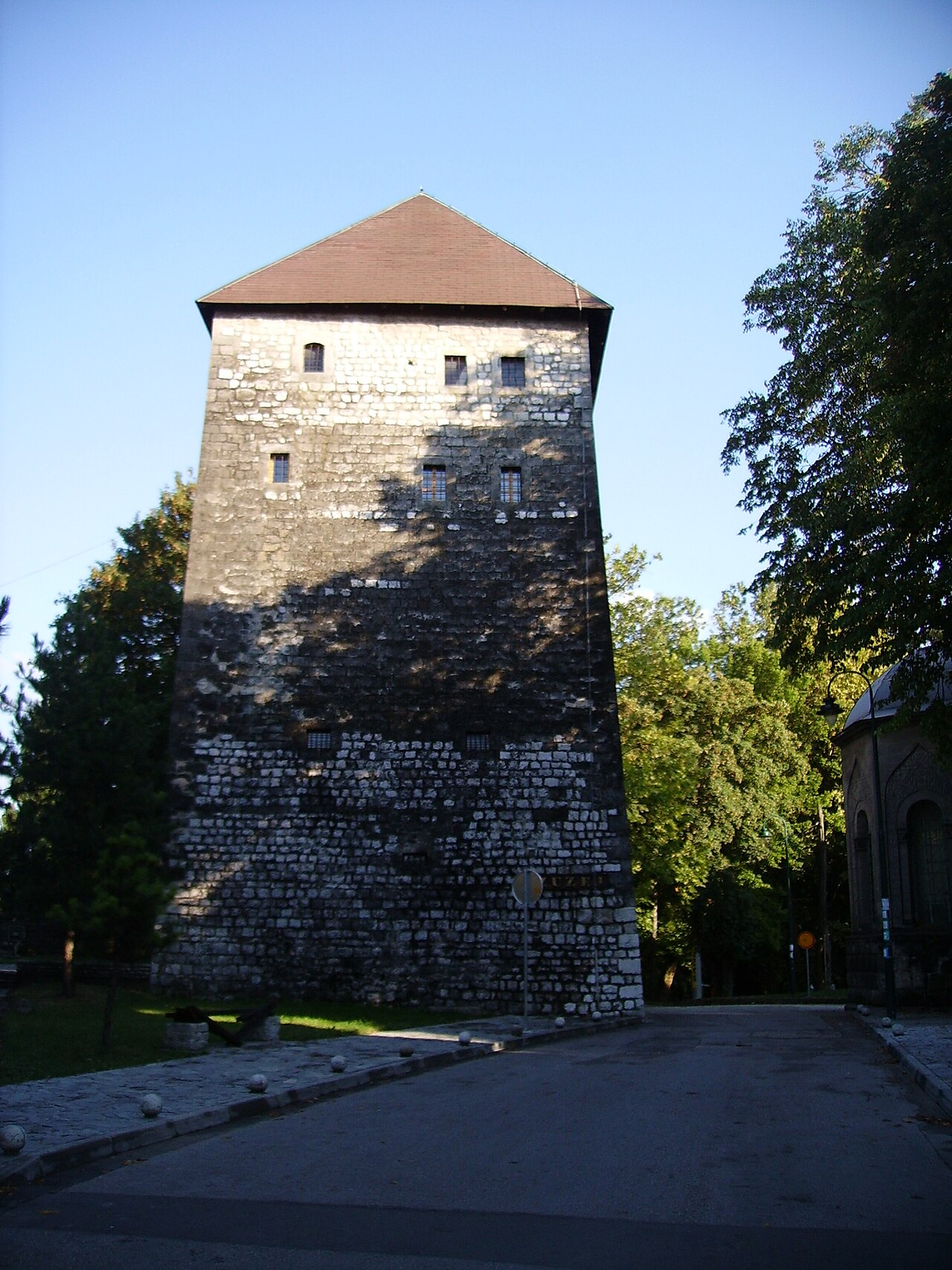
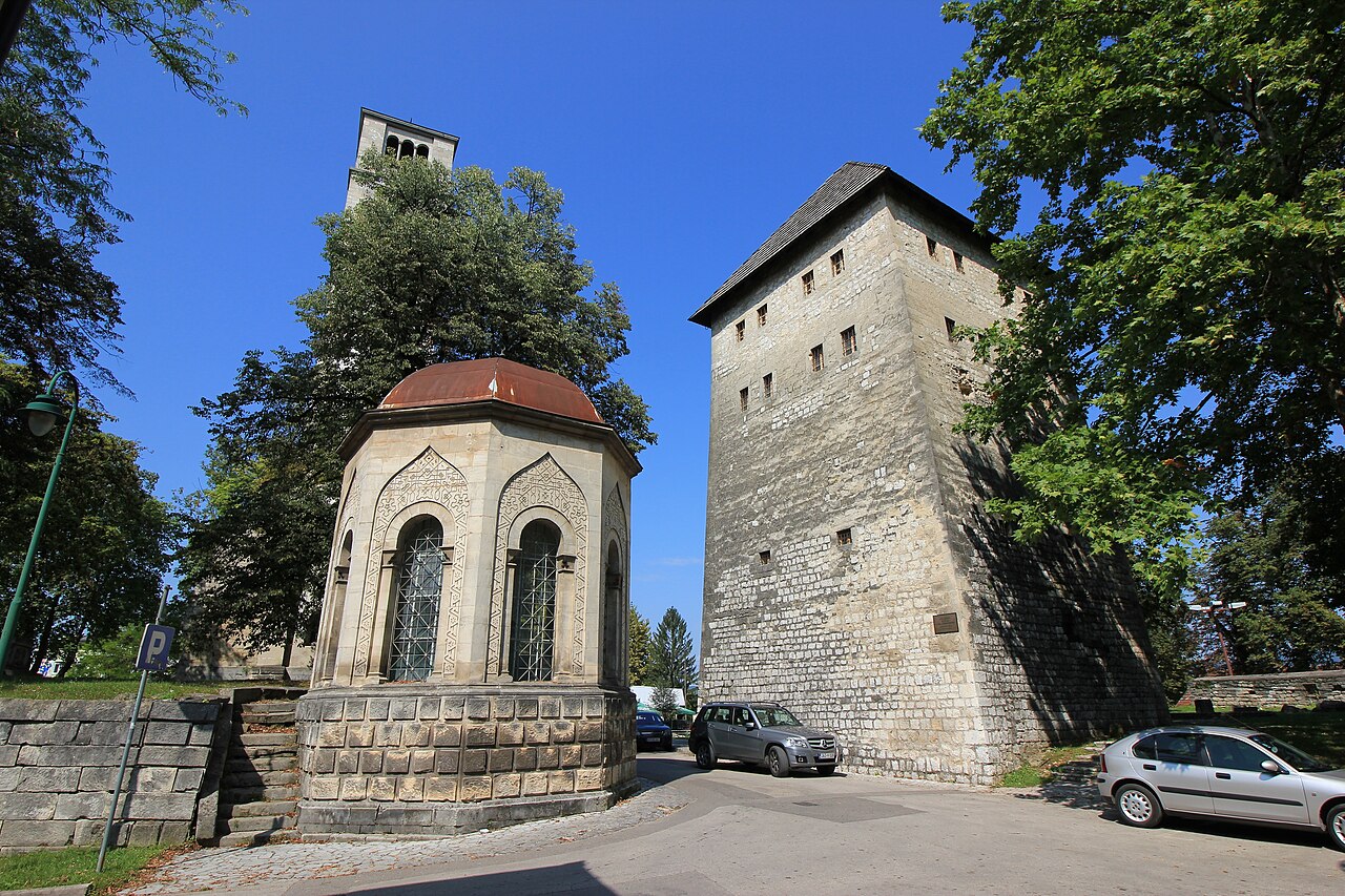
The Captain's Tower (Kapetanova kula) is a square stone tower, about 10 × 10 m, in the heart of Bihać on the left bank of the Una, within the former town walls. Its construction date is disputed – some place it in the 13th century, others in the early 17th – and over the centuries it has served as a fortification, an Austro-Hungarian prison and a detention centre in the Second World War. It has been a museum since 1972, last restored in 2021. Permanent exhibitions run from prehistory to the Austro-Hungarian era: the first floor covers the spiritual and material culture of the Iapydes, the second the ancient towns of Una-Sana Canton, and the fourth recreates the Ottoman captain's divanhana (reception room). The tower forms a complex with the St Anthony church tower and the turbe, with Fethija nearby. Open six days a week – ideal for a rainy day or as an introduction before visiting Ripač and Una National Park.
- Opening hours
- Otvoreno šest dana u sedmici (dani i sati nisu navedeni).
- Admission
- Cijena ulaznice nije pronađena.
- Time needed
- 1 sat
- Getting there
- Bihać centre, Gazi Husrev-begova street, left bank of the Una – on foot.
-
3 foto


Religious sites
Fethija džamija
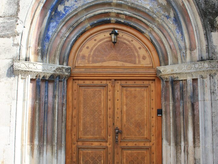
Fethija is one of the most unusual mosques in Bosnia and Herzegovina.
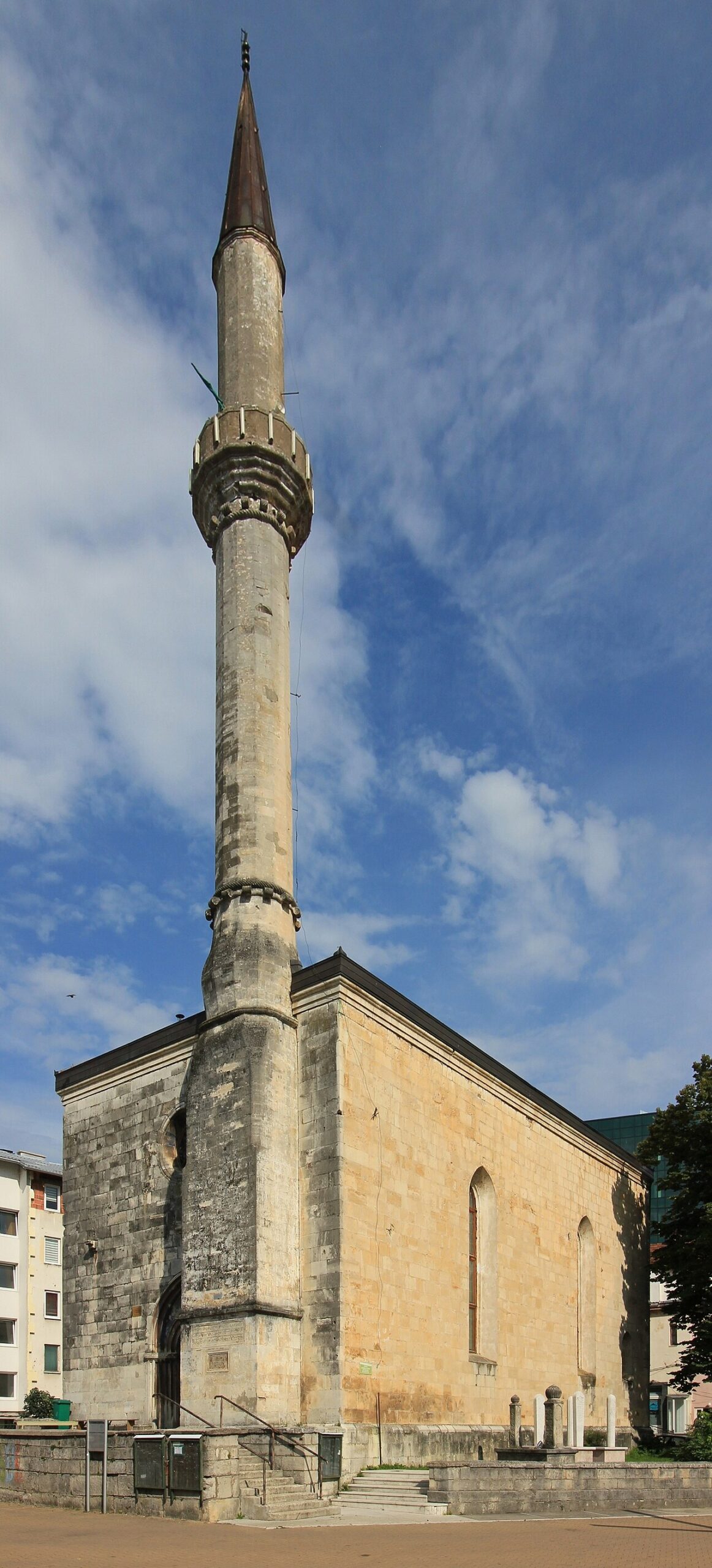
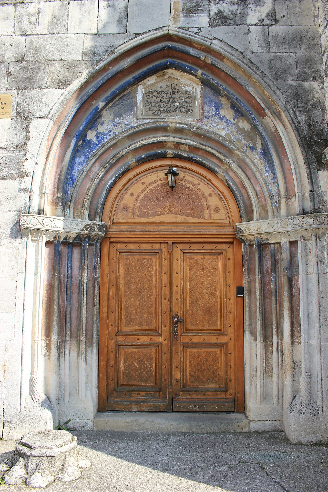
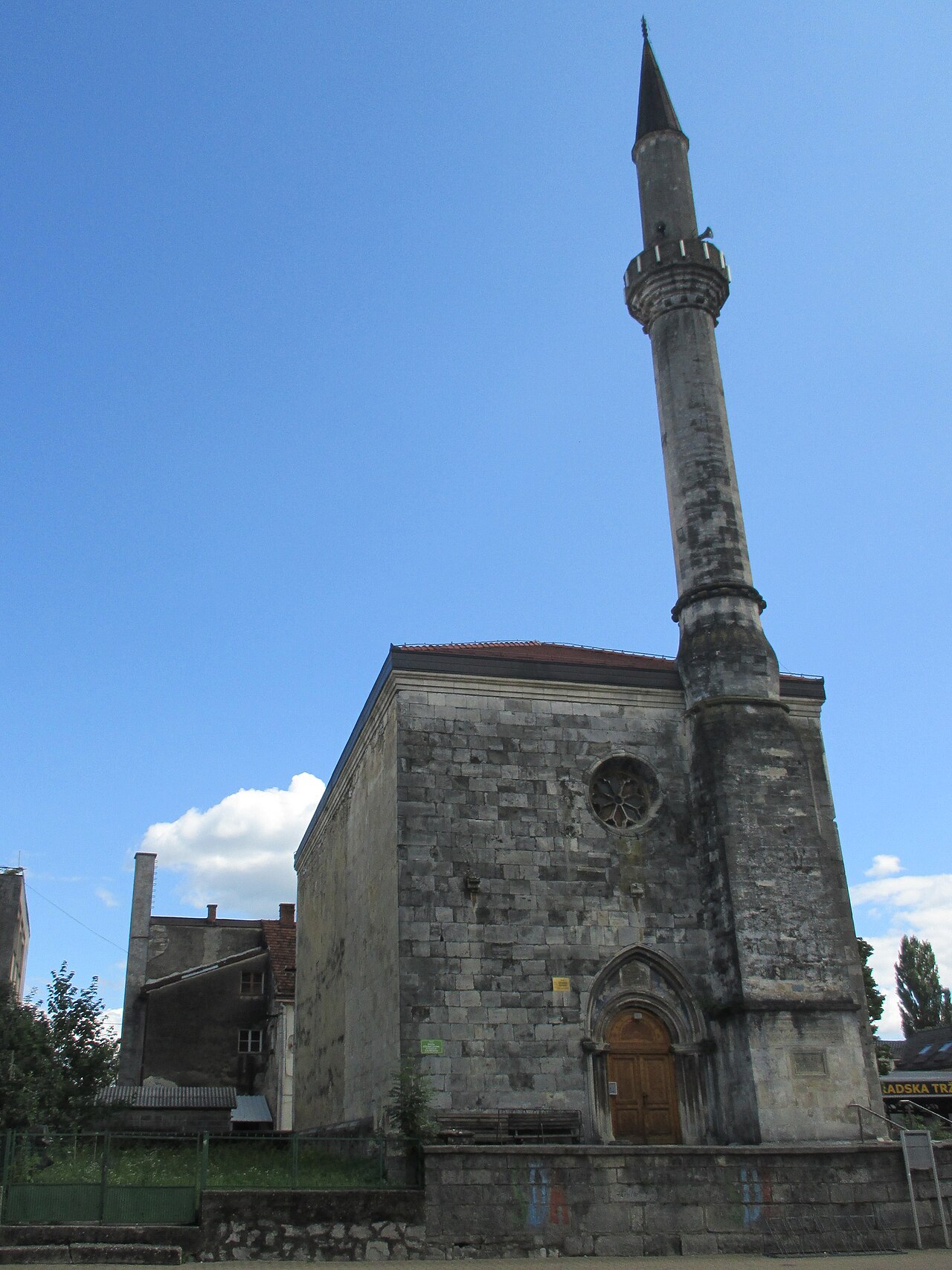
Fethija is one of the most unusual mosques in Bosnia and Herzegovina. It was built in 1266 as a Catholic church dedicated to St Anthony of Padua, part of a Dominican monastery, and is considered the oldest Gothic building in the country. After the Ottoman conquest of Bihać in 1592 it was converted into a mosque, which it remains today. The Gothic bell tower served as the minaret until 1863, when it was replaced because of its poor condition. In the Second World War the roof and wooden interior burned, and conservation work began after the war. The building is about 22 m long and 11.5 m wide, built of stone and bihacite. The façade, with its Gothic windows and portal, tells the story of empires changing along the Una. It is an active mosque, so time your visit around prayer times and dress modestly.
- Time needed
- 30 min
- Getting there
- Bihać centre, next to the Captain's Tower – on foot.
-
2 foto

Religious sites
Ruševine crkve sv. Ante i zvonik
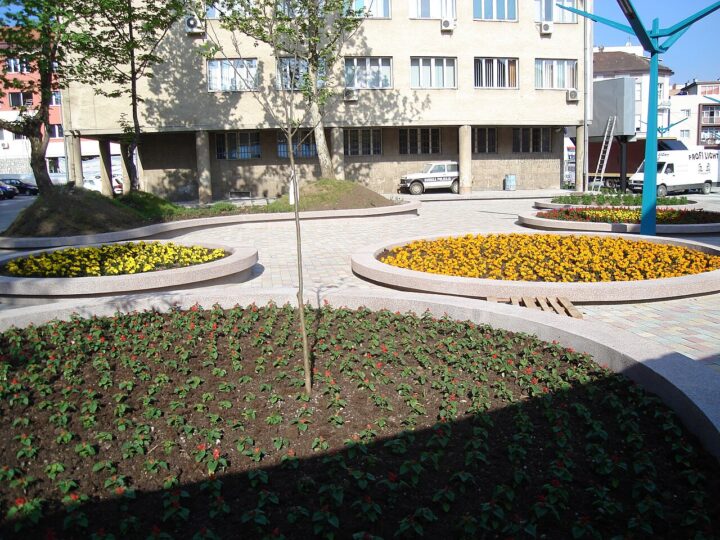
In central Bihać, next to the Captain's Tower and the turbe, stand the remains of the…
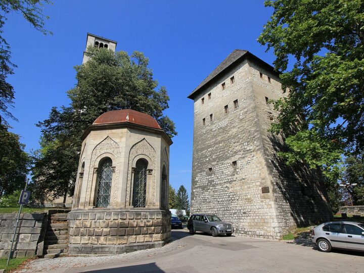
In central Bihać, next to the Captain's Tower and the turbe, stand the remains of the Church of St Anthony of Padua – once one of the largest Catholic places of worship in town, with a graveyard of Bihać nobility. Today its tall bell tower is the most striking part, forming with the tower and the turbe a recognisable monument complex on the left bank of the Una. Don't confuse it with Fethija, the medieval Gothic church of St Anthony converted into a mosque in 1592. The ruins are especially photogenic in the evening, and the contrast between the stone tower and the riverside greenery makes a great subject. It is a few minutes' walk from all the other sights in the centre, so include it in a stroll through the old town with the Captain's Tower museum.
- Admission
- Besplatno (izvana).
- Time needed
- 15–30 min
- Getting there
- Bihać centre, next to the Captain's Tower – on foot.
-
2 foto
Religious sites
Turbe u Bihaću
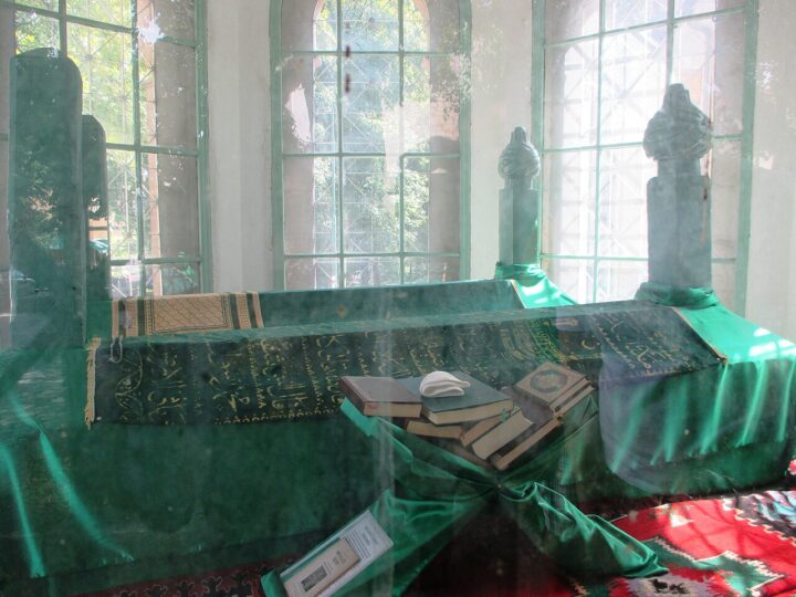
Bihać's turbe is a small but striking monument in the town centre, next to the Captain's…
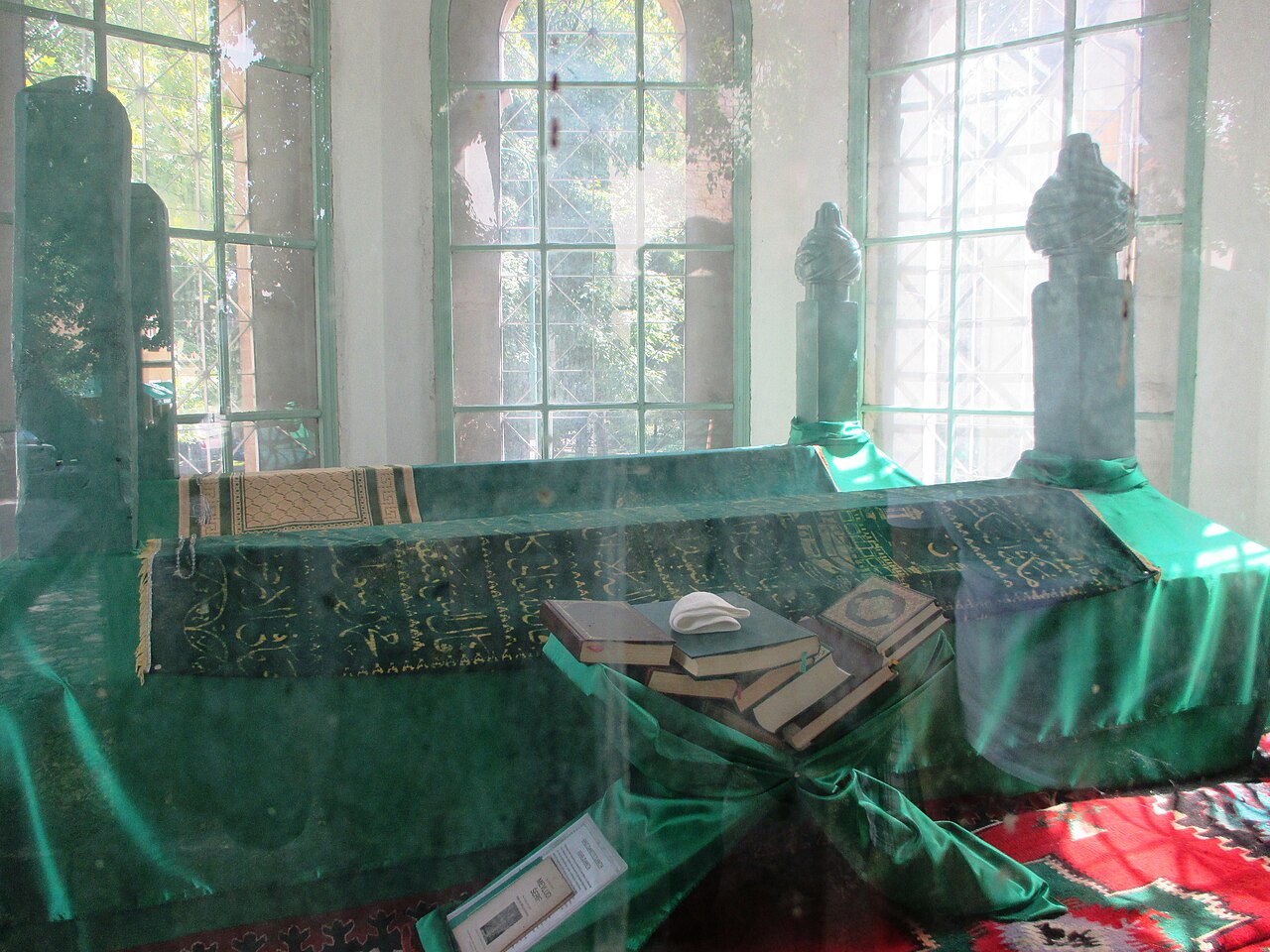
Bihać's turbe is a small but striking monument in the town centre, next to the Captain's Tower and the St Anthony bell tower. It honours the defenders of Bihać who fell fighting Austro-Hungarian troops in 1878. The present stone turbe was built by the Austro-Hungarian authorities at their own expense, replacing an earlier wooden one, though some sources date it to the Ottoman period. It has an octagonal plan with 2.6 m walls, a dome covered in galvanised sheet metal and a façade clad in bihacite. Inside are two wooden coffins with sarcophagi and nišan tombstones decorated with a twisted-ribbon motif, without inscriptions. The turbe is a National Monument of Bosnia and Herzegovina. Surrounded by trees and old stone walls, it is a pleasant spot for a short pause on a walk through the centre.
- Admission
- Besplatno (izvana).
- Time needed
- 15 min
- Getting there
- Bihać centre, next to the Captain's Tower – on foot.
-
Fortresses & history · 15 km from Bihać
Dvorac Ostrožac
Ostrožac is one of the most photogenic castles in Bosnia and Herzegovina, set in the village…
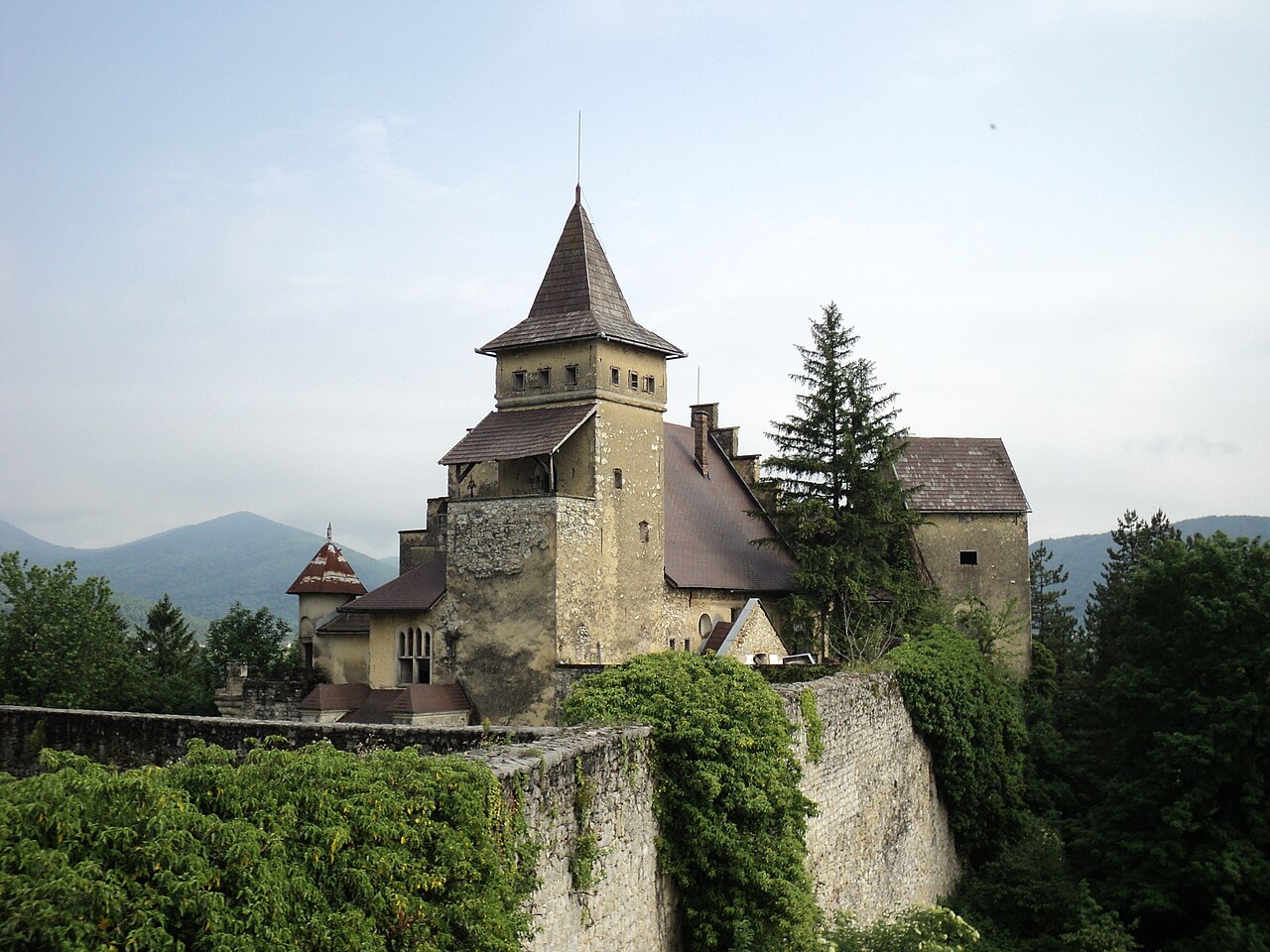
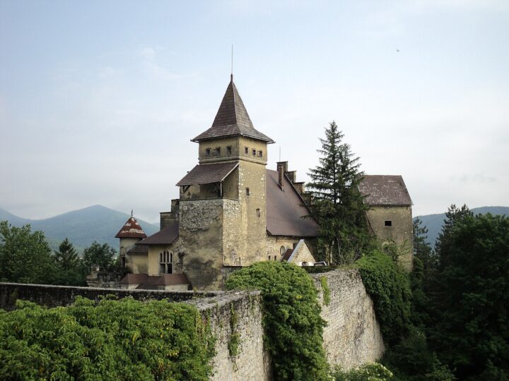
Ostrožac is one of the most photogenic castles in Bosnia and Herzegovina, set in the village of the same name on the edge of Cazin, above the Una valley. The fortress dates from the 13th century, when it belonged to the Croatian noble Babonić family, and the Ottomans captured it in 1592. Its romantic look comes from 1900–1906, when Bihać's mayor Lothar von Berks rebuilt it as a birthday present for his wife, a member of the Habsburg family. The courtyard is an open-air sculpture park: more than 150 monumental works carved from bihacite stone at the long-running Ostrožac Sculptors' Colony. The castle was declared a national monument in 2013. The interior is largely a shell and restoration is slow, but the views from the walls and the sculpture courtyard are well worth the trip. Concerts and events are held here in summer. Combine it with Cazin or lunch in Ostrožac.
- Admission
- Nije navedena.
- Time needed
- 1–2 sata
- Getting there
- From Bihać drive towards Cazin, then turn off for Ostrožac na Uni. (~20 min)
-
3 foto

Nearby towns · 24 km from Bihać
Cazin – stari grad i čaršija
Cazin is a lively town north of Bihać and the centre of the Cazinska krajina region.
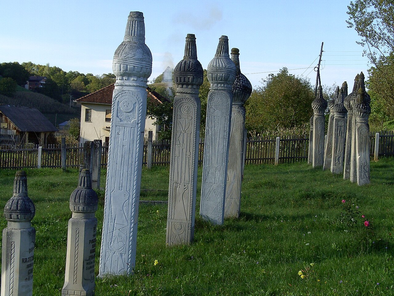
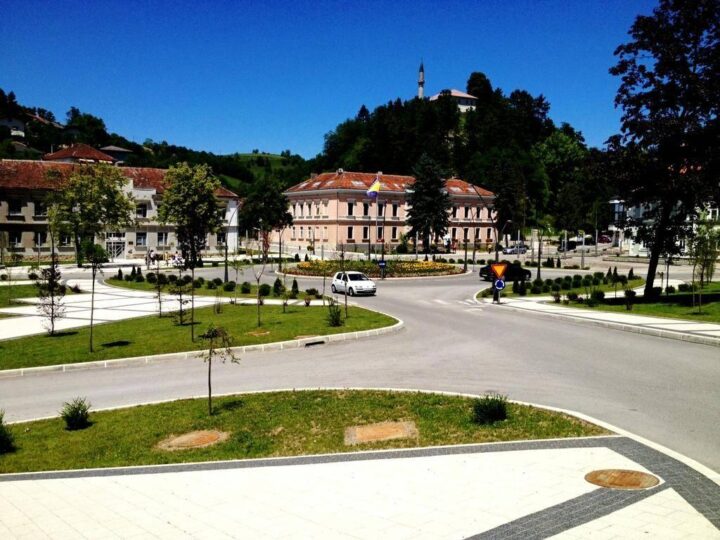
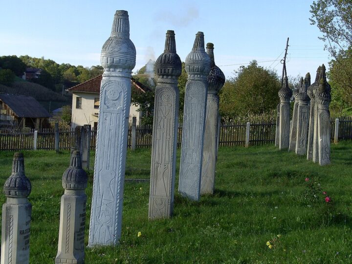
Cazin is a lively town north of Bihać and the centre of the Cazinska krajina region. Above the centre rises the old town, a 16th-century fortress reached by a steep climb, and within its walls stands the Town Mosque, thought to have been built on the site of an old church. In town you can also see the Ibro Alagić House, a traditional two-storey home about 100 m from the fortress, and the Nurija Pozderac House from 1820. The town library began as a reading room in 1931, with a bust of Nurija Pozderac outside. The Centre for Culture and Tourism hosts shows and readings. Cazin is a good base for Ostrožac castle, Šturlić and Pećigrad, and on the road to Velika Kladuša, in Donja Lučka, are the Kajtezović tombstones – 16 nišans almost 3 m tall from the early 20th century. The climb to the fortress is steep, so bring water.
- Opening hours
- Centar za kulturu i turizam Cazin: +387 37 539 069.
- Time needed
- pola dana
- Getting there
- From Bihać take the main road north to Cazin. (~30 min)
-
Š
Nearby towns · 39 km from Bihać
Šturlić
Šturlić is a village in the far west of Cazin municipality, set on a hill above…
Šturlić is a village in the far west of Cazin municipality, set on a hill above the Korana river right by the Croatian border. The 2013 census counted around 2,450 residents. The area is known for the quiet rural landscape of Cazinska krajina and views over the Korana valley, and local heritage guides list it among the excursions around Cazin. It makes a good goal for a drive along back roads through the hills, combined with Pećigrad or Ostrožac castle on the same day. If you're after authentic village atmosphere, home cooking and peace, this is the direction to take. Check locally before you go which sights are currently open to visitors. Along the Korana the area is calm and green, and the drive through the hilly villages of Cazinska krajina is an experience in itself. Expect narrow local roads and drive slowly.
- Time needed
- pola dana
- Getting there
- From Bihać towards Cazin, then west towards the border and the Korana. (~45 min)
-
Fortresses & history
Pećigrad – stari grad
Pećigrad is a medieval fortress in Cazinska krajina built in 1470 by Ban Ivan Tuz.
Pećigrad is a medieval fortress in Cazinska krajina built in 1470 by Ban Ivan Tuz. His sons sold it to the Šubić Peranski brothers, and in 1519 it passed to Jurčec Gusić. After the Ottomans captured Gusić's son, his widow adopted the Krupa castellan Mihajlo Turk in 1520, and for a time the town was known as Peći Mihajla Turka. The garrison was reduced and the town abandoned in 1577; from 1635 a small Ottoman border garrison was stationed here. By the early 18th century Pećigrad was a larger border fortress with cannons and about 250 soldiers. In 1786 Bešir-beg Beširević, captain of Ostrožac, built a new town next to the medieval one on the Bosnian vizier's orders, and it is partly preserved. Pećigrad will appeal to history lovers and fits easily into a Cazin – Ostrožac trip or a drive towards Velika Kladuša.
- Time needed
- 1–2 sata
- Getting there
- From Cazin head north (road towards Velika Kladuša).
-
3 foto

Fortresses & history
Stari grad Bužim
Bužim old town dominates the small town of the same name in north-western Bosnia and Herzegovina…
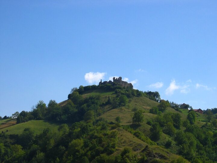
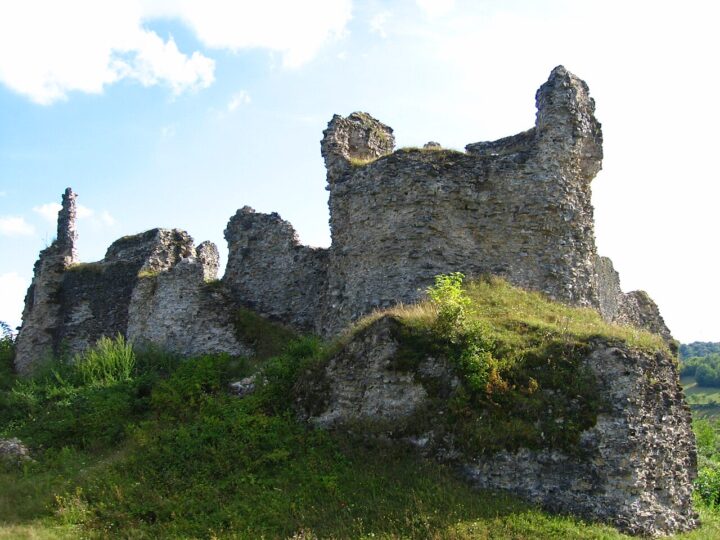
Bužim old town dominates the small town of the same name in north-western Bosnia and Herzegovina and was once the second-largest fortress of Cazinska krajina after Bihać. Bužim is first mentioned in 1334, the inner fort was built no later than the first half of the 14th century and the fortress was enlarged in 1484. In 1494 King Vladislaus II granted it to Ivan Keglević, and the Keglević family took its name from it. The Ottomans took Bužim in 1576 and stationed 50 horsemen and 130 infantry there; Christian armies later captured it several times but could not hold it. The older inner fort is square with round corner towers, later surrounded by outer walls with polygonal towers, and it is cited as an example of Renaissance fortification. The walls stand 5–8 m high. The fortress and a nearby old mosque are national monuments. The view of Bužim from the ramparts is superb.
- Time needed
- pola dana
- Getting there
- From Bihać drive to Cazin and continue north to Bužim; alternatively via Bosanska Krupa.
-
2 foto

Nearby towns · 32 km from Bihać
Bosanska Krupa – Una, otoci i tvrđava
Bosanska Krupa is a small town on the Una, about 27 km downstream of Bihać through…
Bosanska Krupa is a small town on the Una, about 27 km downstream of Bihać through the canyon. Here the river leaves the canyon and spreads into cascades and small islands linked by bridges – a scene that makes Krupa one of the prettiest towns on the Una. In the centre is the Zeleni otoci (Green Islands) park with benches and cafés, and above the old bazaar, on a rocky hill, stand the ruins of a 13th-century fortress that the Ottomans took in the 16th century and built the town around. The view from the fortress over the river and houses on stilts is the main reason to come. The town also has a memorial to four local men lost on the Titanic, an Orthodox church, a Catholic church and the town mosque. The Krušnica joins the Una downstream, and its spring is about 6 km away. Ideal for half a day with lunch by the water.
- Opening hours
- Kulturni centar: 7:30–16 h, vikendom zatvoreno (johnbills.com).
- Admission
- Bez ulaznice.
- Time needed
- pola dana
- Getting there
- From Bihać take the road through the Una canyon to Bosanska Krupa. Frequent buses from Bihać. (~40 min)
-
3 foto
Nature · 32 km from Bihać
Vrelo Krušnice
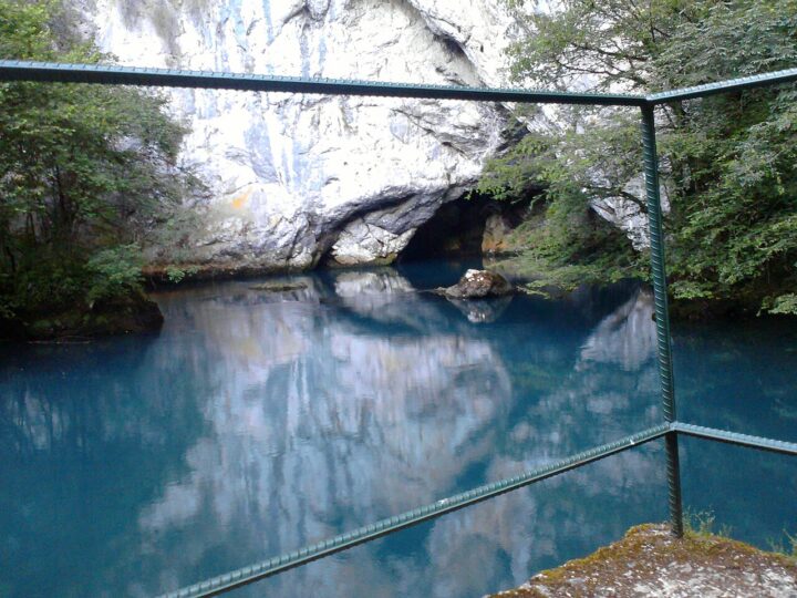
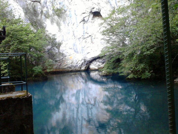
Vrelo Krušnice is a large karst spring that gives rise to the Krušnica river, located between…
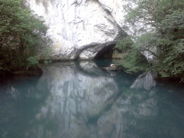
Vrelo Krušnice is a large karst spring that gives rise to the Krušnica river, located between the villages of Gudavac and Vranjska in Bosanska Krupa municipality. The river bursts from the rock and immediately spreads through dense forest, rapids and small waterfalls, making the spring one of the region's favourite picnic spots – especially in summer, when the shade by the cold water is a real relief. The Krušnica is a short river that joins the Una downstream of Bosanska Krupa. The spring is about 6 km south of central Krupa; you can walk, but the route is steep, so a car or taxi is recommended. Bring a picnic blanket and shoes for wet rocks. It is at its best in spring, when the flow is strongest, and in early summer. Combine it with a visit to Bosanska Krupa.
- Time needed
- pola dana
- Getting there
- To Bosanska Krupa (through the Una canyon), then about 6 km south to the spring. (~40 min)
-
2 foto


Nearby towns · 38 km from Bihać
Bosanska Otoka
Bosanska Otoka is a small town on the Una about 11 km downstream of Bosanska Krupa.
Bosanska Otoka is a small town on the Una about 11 km downstream of Bosanska Krupa. It takes its name from the islands the river forms here, and the best-known sight is the Town Mosque standing on a small island in the middle of the Una; its minaret has 153 steps. Houses right on the water and calm side channels make the place picturesque, especially in late afternoon. Otoka isn't a full-day destination, but it's a great extension to a Bosanska Krupa trip – after lunch in Krupa continue to Otoka, stroll along the river and return through the Una canyon to Bihać. Frequent daytime buses run from Krupa, so it's doable without a car. The best view of the mosque is from the bridge and riverbank, and half an hour to an hour is enough for a stroll. It is quiet and rarely crowded, pleasant for families.
- Time needed
- 1–2 sata
- Getting there
- From Bihać to Bosanska Krupa, then about 11 km further downstream along the Una. (~45 min)
-
2 foto


Activities · 28 km from Bihać
Rafting na Uni – polazišta
Rafting is one of the most popular activities in Bosnia and Herzegovina, and the Una is…
Rafting is one of the most popular activities in Bosnia and Herzegovina, and the Una is among the finest rivers for it. There are two main routes. The first starts below Štrbački buk and runs through Una National Park towards Loskun and Lohovo: about 7.5 km, two to two and a half hours on the water, grade III–IV, not recommended by operators for children under 12 and best for confident swimmers. The second starts at Kostela downstream of Bihać and runs to Salihovac by the Bosanska Krupa road: 12 km, also about two hours, and suitable for beginners and families. Within the park, the Martin Brod – Kulen Vakuf and Troslap – Dvoslap sections are also open to kayaks and canoes. All activities in the park require a local guide, and the park charges a separate fee. Spring brings higher, faster water; September is calmer, according to guests.
- Opening hours
- Ture svakodnevno za grupe od min. 4 osobe (Una Aquarius).
- Admission
- Naknada NP Una 2026 (bez opreme): Štrbački buk – Lohovo 12 / 14 / 17 / 20 KM; Martin Brod – Kulen Vakuf 6 / 8 / 10 / 12 KM; Troslap – Dvoslap 5 / 6 / 7 / 8 KM (jan-feb-dec / mar-apr-nov / maj-jun-sep-okt / jul-avg). Cijena ture po cjenovniku agencije.
- Time needed
- pola dana
- Getting there
- Start 1: below Štrbački buk (operators provide transfers; bases near Lohovo/Loskun). Start 2: Kostela, 8–9 km from Bihać towards Bosanska Krupa. (~35 min)
-
2 foto

Activities · 50 km from Bihać
Ribolov na Uni i Uncu
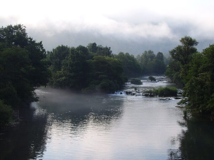
The Una and Unac rank among Europe's well-known fly-fishing waters; grayling and brown trout are the…
The Una and Unac rank among Europe's well-known fly-fishing waters; grayling and brown trout are the main species, and the Una is also famous for huchen, the largest fish in the river. In Una National Park fishing is allowed only in designated zones under park rules. For 2026, zone 1 Martin Brod (including the special Unac section) and zone 1B Kulen Vakuf are reserved for catch-and-release fly fishing with a single rod and barbless hooks. Zone 1A Gečet is mixed: fly fishing Monday to Thursday, bubble float and spinning Friday to Sunday. In the Klisa – Ćelije, Dvoslap and Očigrije zones, bubble float and spinning are allowed at weekends only, with a maximum of two fish a day. Live bait, night fishing and fishing from boats or bridges are banned everywhere. The fly-zone season runs from 1 May to 31 October.
- Opening hours
- Mušičarski reviri 1. 5. – 31. 10.; Unac 1. 3. – 31. 10.; ribolov od 7 h (kraj 18, 19 ili 21 h ovisno o periodu).
- Admission
- Dnevne, 3-dnevne i 5-dnevne dozvole; iznosi su u cjenovniku NP Una 2026 (nisu izvučeni). Prodaja: info-tačka Kulen Vakuf (Unska bb), ulaz br. 5 Milančev buk (Martin Brod), Turistički info-centar Bihać (ul. 5. korpusa, preko puta pošte).
- Time needed
- cijeli dan
- Getting there
- Martin Brod (about 50 km) and Kulen Vakuf – see those entries. (~60 min)
-
3 foto
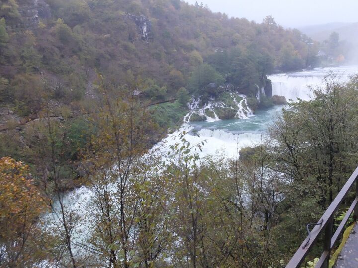
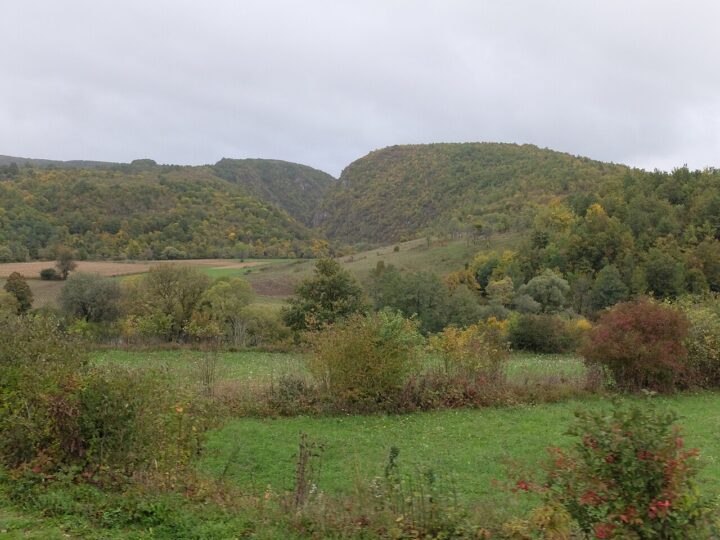
Activities
Biciklizam: Bihać – NP Una – Kulen Vakuf
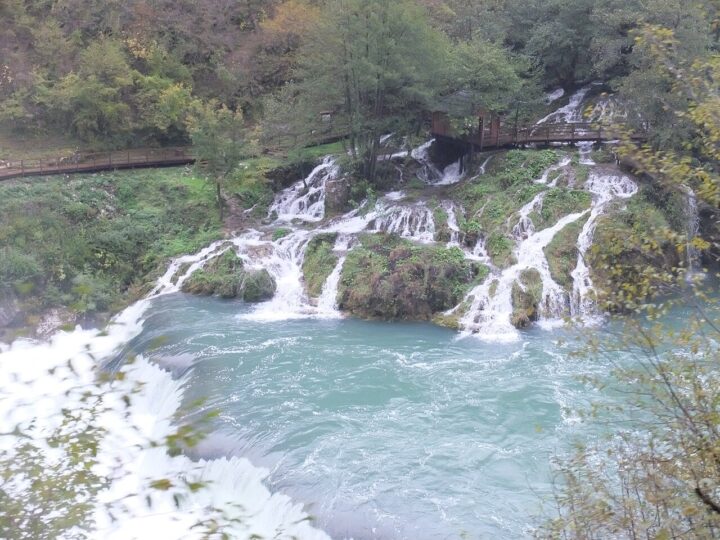
The Una valley is superb for cycling: river, villages, waterfalls and fortresses follow one after another,…
The Una valley is superb for cycling: river, villages, waterfalls and fortresses follow one after another, and Una National Park has the Ćukovi entrance (no. 2) reserved for cyclists and walkers, from which it is about 4.5 km to Štrbački buk and on towards Kulen Vakuf and Martin Brod. For longer rides there are routes such as Kulen Vakuf – Bihać or Martin Brod – Kulen Vakuf, published on route-planning platforms, and a popular ride from Bihać to Plitvice – about 39 km with roughly 600 m of climbing. The Via Dinarica Green Trail also passes through the park. Bikes can be rented in Lohovo. On hot summer days start early, carry enough water and spares, as there are virtually no bike shops along the way. Spring and early autumn are ideal.
- Time needed
- pola dana do cijeli dan
- Getting there
- Start in central Bihać; head to Una NP via the M-5 or along the Una valley; use the Ćukovi entrance for bikes.
-
3 foto


Fortresses & history · 12 km from Bihać
Podzemni aerodrom Željava (Klek, Plješevica)
Željava is a former military air base dug into Plješevica mountain, right on the Croatia –…
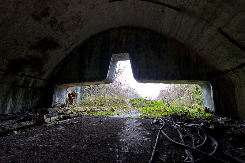
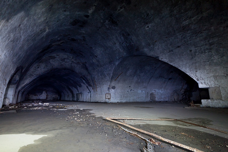
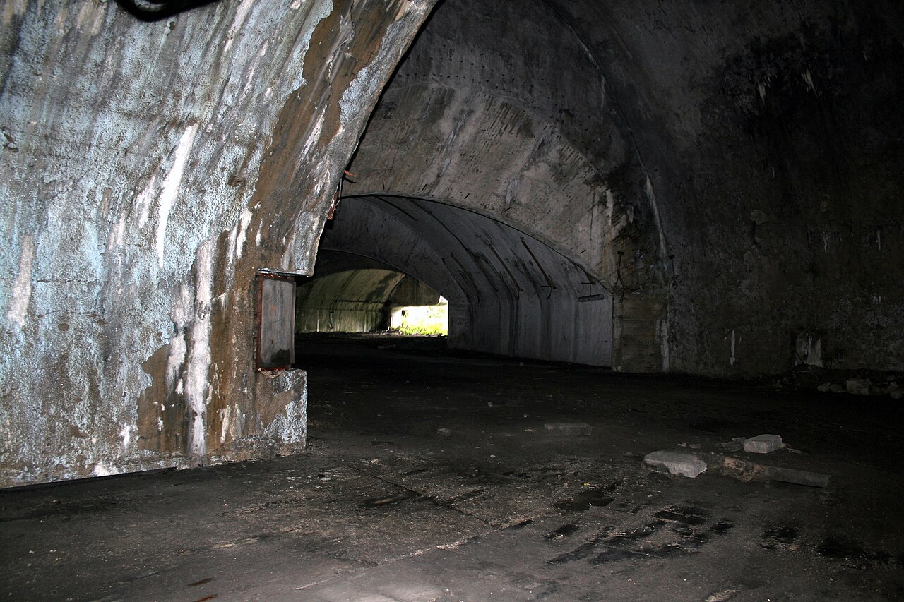
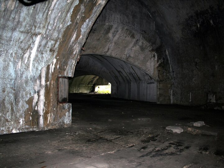
Željava is a former military air base dug into Plješevica mountain, right on the Croatia – Bosnia and Herzegovina border near Bihać. Construction began in 1948 and finished in 1968, costing Yugoslavia about 6 billion dollars. Tunnels totalling about 3.5 km had four entrances protected by 100-tonne doors and housed MiG-21 jets. The Yugoslav army wrecked the runways as it withdrew, and in 1992 a further 56 tonnes of explosives disabled the base. Today the border cuts through it and the surroundings are still MINED – in 2000 an officer was killed while picking mushrooms. If you go, stay strictly on the tarmac, obey warning signs, bring strong torches, sturdy boots and gloves, and never stand under damaged ceilings. Border police may stop you, so inform them in advance. The safest option is an experienced guide.
- Admission
- Nema ulaznice; vođene ture se plaćaju (cijena iz 2018. zastarjela).
- Time needed
- pola dana
- Getting there
- Access from the Croatian side: from Bihać via the Izačić – Ličko Petrovo Selo border crossing, then the road towards Novo Selo Koreničko and Željava village, on to the tunnel entrances. Inform border police (Izačić recommended). Never leave the tarmac. (~15 min)
-
2 foto
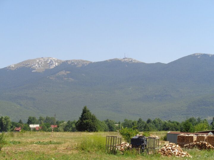
Nature · 35 km from Bihać
Plješevica (Lička Plješivica)
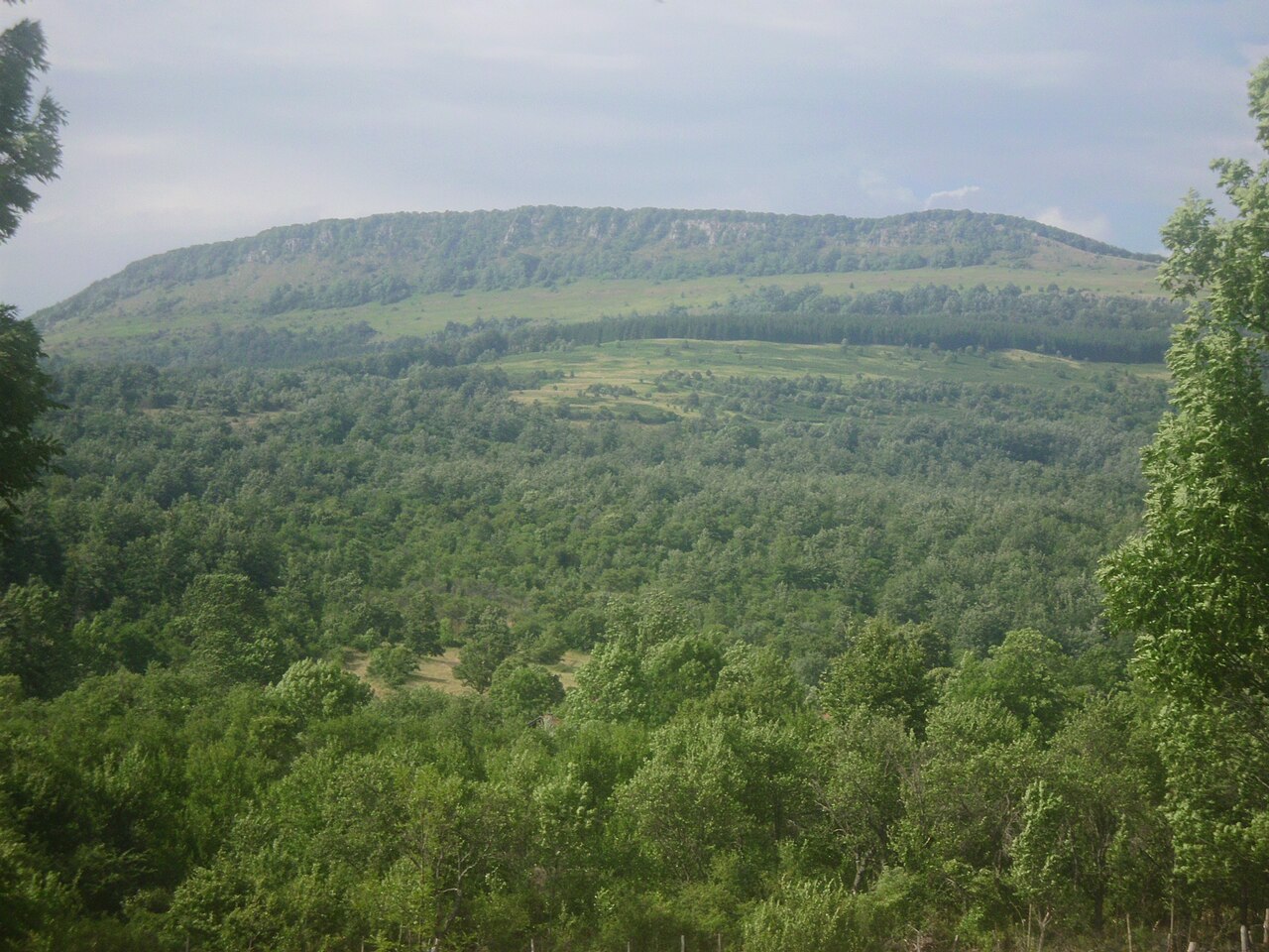
Plješevica (Lička Plješivica) is a Dinaric mountain on the border between Croatia and Bosnia and Herzegovina.
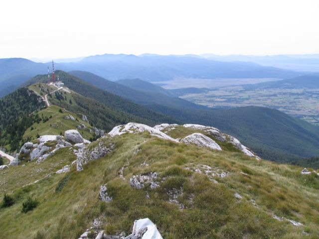
Plješevica (Lička Plješivica) is a Dinaric mountain on the border between Croatia and Bosnia and Herzegovina. It runs from the north-west, close to Bihać, to the south-east, along the Krbava field on the Croatian side, down to the Una valley near Ripač on the Bosnian side. The highest peak is Ozeblin (1,657 m) in the south, between Udbina and Donji Lapac, while Gola Plješevica (1,646 m) rises in the north, between Bihać and Korenica. Hidden inside the northern part of the mountain is the Željava underground air base. The summits offer views over Bihać and the Una valley on one side and Lika on the other. Because of the border and war legacy, stay strictly on marked trails and roads and ask locally about safety. Late spring and early autumn are the best seasons for a climb.
- Time needed
- cijeli dan
- Getting there
- The mountain rises just west of Bihać; access from the Croatian side (Korenica) or from around Bihać – marked routes only. (~40 min)
-
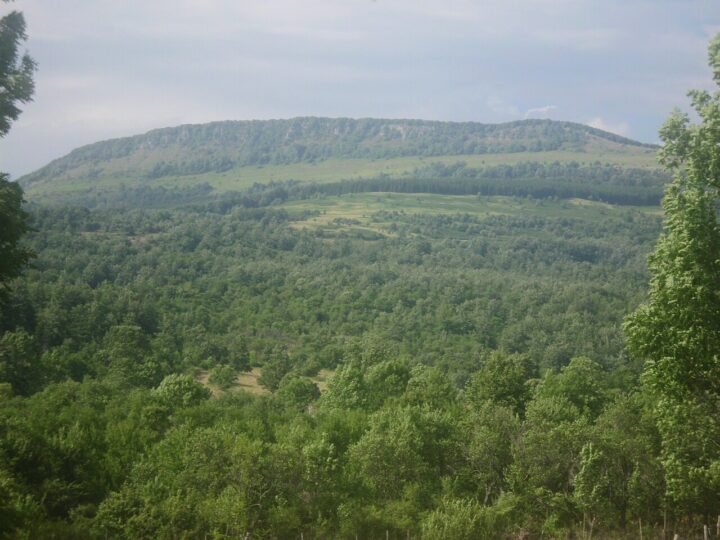
Nature · 66 km from Bihać
Planina Grmeč
Grmeč is a Dinaric mountain in north-western Bosnia and Herzegovina, more than 60 km long, stretching…
Grmeč is a Dinaric mountain in north-western Bosnia and Herzegovina, more than 60 km long, stretching between Bihać and Ključ. Its highest peak is Crni vrh at 1,605 m. The mountain spans the municipalities of Bihać, Bosanski Petrovac, Ključ, Sanski Most and Bosanska Krupa, so it can be approached from several directions. Grmeč is known for extensive forests, quiet pastures and clean air, offering hiking, walks and an escape from summer heat in the lowlands. Unlike the Una valley, there are no crowds here, so it suits those seeking peace. As the terrain is extensive, plan your hike with a local mountaineering club or guide and carry a map. Summer and early autumn are best. Grmeč is about an hour's drive from Bihać, so it suits a full-day trip.
- Time needed
- cijeli dan
- Getting there
- From Bihać towards Bosanski Petrovac (M-5) or Bosanska Krupa; the mountain rises east of Bihać. (~80 min)
-
4 foto
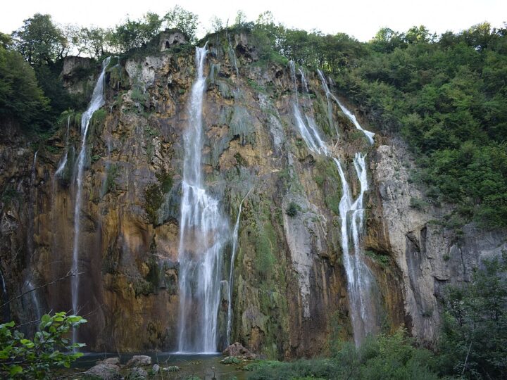


Croatia (Plitvice etc.) · 39 km from Bihać
Nacionalni park Plitvička jezera
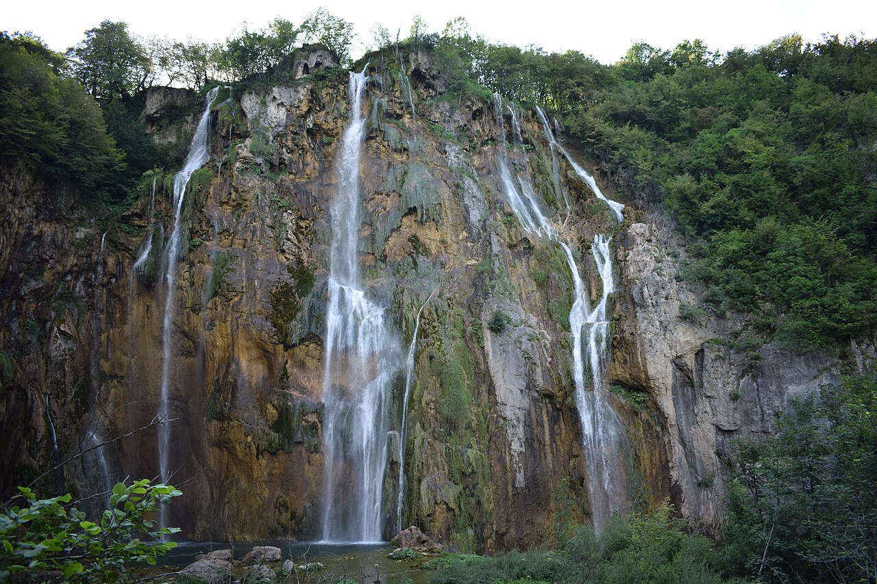
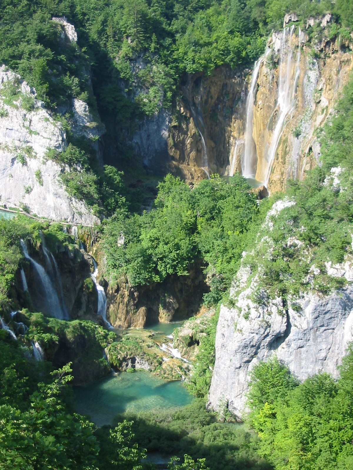
Plitvice Lakes is Croatia's best-known national park and has been a UNESCO World Heritage Site since…
Plitvice Lakes is Croatia's best-known national park and has been a UNESCO World Heritage Site since 1979. Covering about 297 km², it lies right on the border with Bosnia and Herzegovina, with Lička Plješivica on its eastern side forming that border. Sixteen surface lakes are linked by travertine barriers, waterfalls and wooden boardwalks, and the highest fall, Veliki slap, is 78 m tall. From Bihać you can reach Plitvice in under an hour via the Izačić – Ličko Petrovo Selo border crossing, making it one of our guests' most popular day trips. In 2026 summer tickets are cheaper after 4 pm (June–August) and 3 pm (September) – a great way to avoid the crowds. Tickets can be bought online and, unless sold out, at the entrances. Bring your passport or ID card for the border.
- Opening hours
- Otvoreno 365 dana. Trenutno objavljeno: ulazi 8–15 h, prodaja ulaznica do 13 h, parking 7–17 h (raspored se mijenja po sezoni).
- Admission
- 2026 (po osobi): odrasli 10 € (1. 1.–31. 3. i 1. 11.–31. 12.), 23 € (apr–maj, okt), 40 € / 25 € (jun–sep, niža cijena poslije 16 h u jun–avg, poslije 15 h u sep); djeca 7–18 god. 4 / 6 / 15 (9) €; djeca do 7 god. besplatno. Parking automobil 1,50 €/h (mar–maj, okt–nov) odnosno 2 €/h (jun–sep).
- Time needed
- cijeli dan
- Getting there
- From Bihać head to the Izačić (BiH) – Ličko Petrovo Selo (HR) border crossing, then on to Plitvice. A Bihać – Plitvice cycling route on bikemap.net measures 39.4 km. (~45 min)
-
4 foto
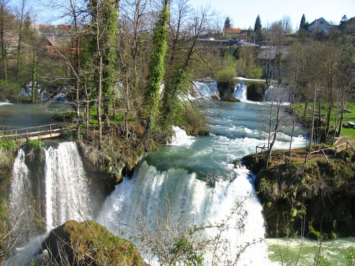

Croatia (Plitvice etc.) · 50 km from Bihać
Rastoke i Slunj
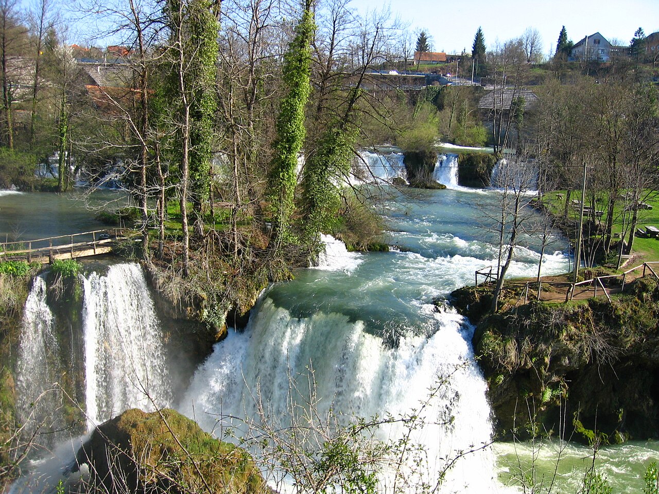
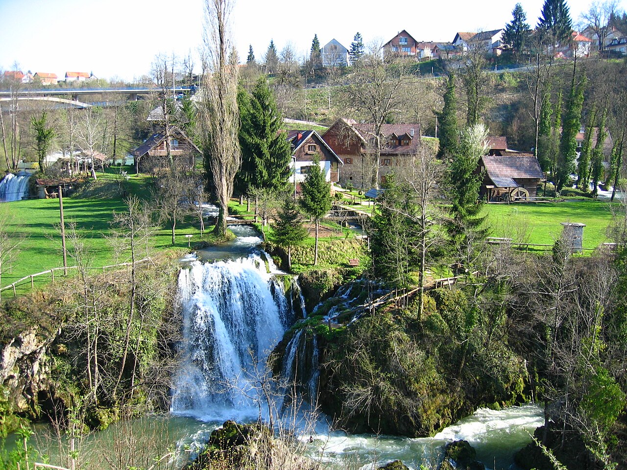
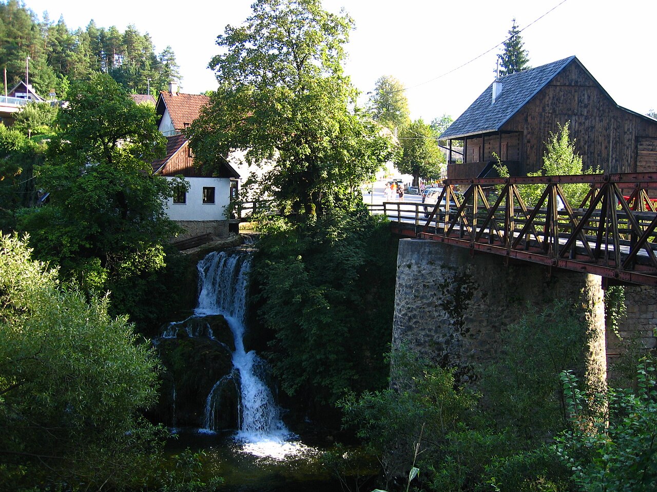
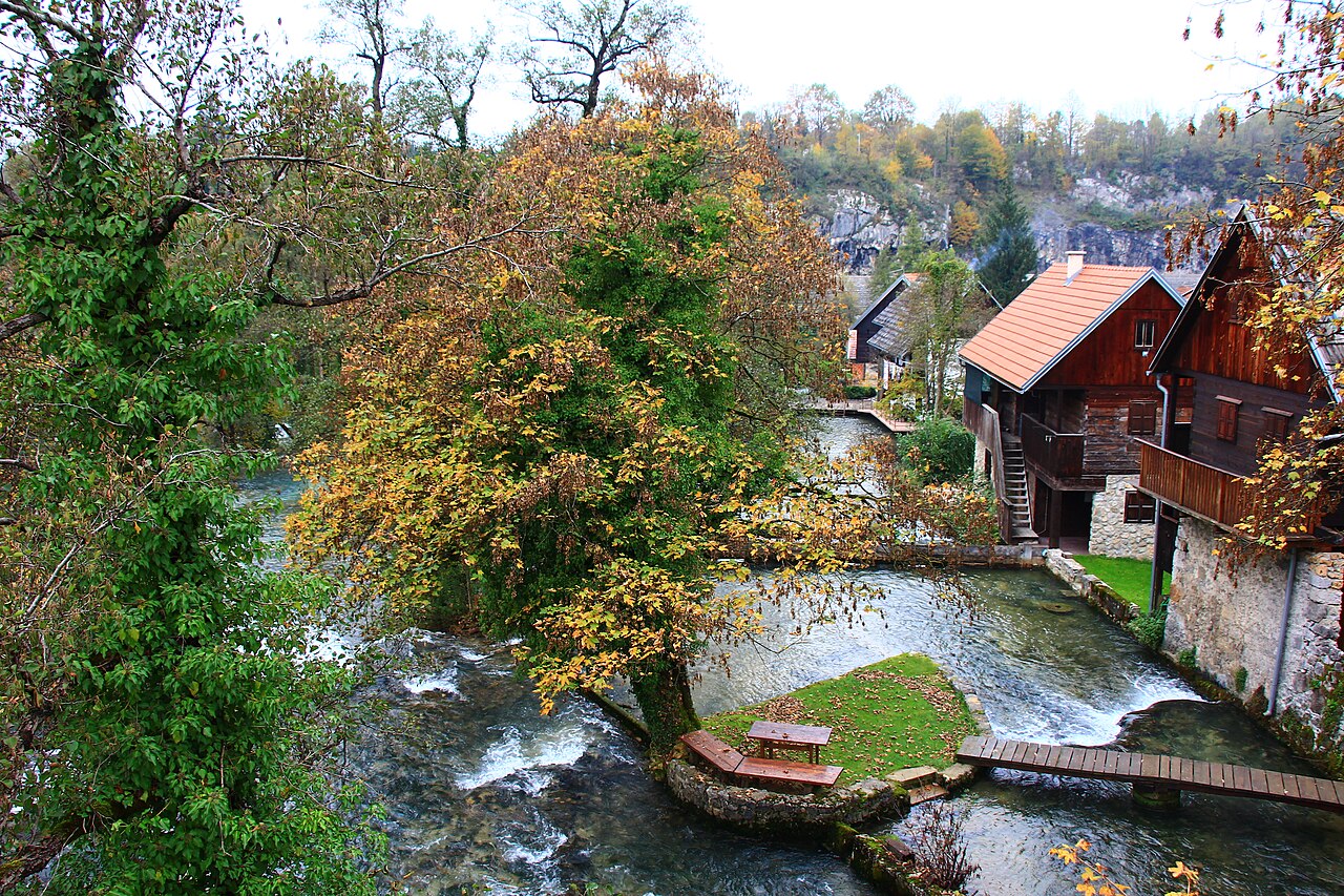
Rastoke is part of the town of Slunj in Croatia, where the Slunjčica river splits into…
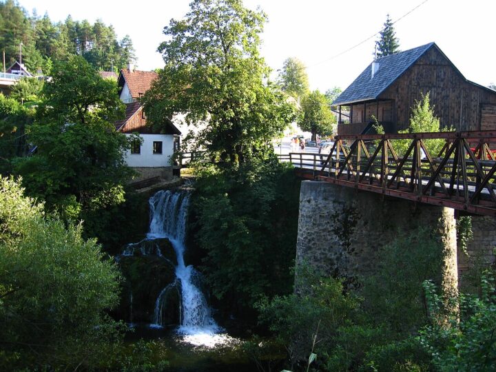
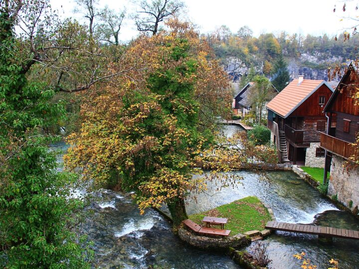
Rastoke is part of the town of Slunj in Croatia, where the Slunjčica river splits into many branches and tumbles over cascades and small falls into the Korana – hence its nickname, "little Plitvice". The lower part of Rastoke has 23 waterfalls, the best known being Buk, Hrvoje and Vilina kosa. The village is famous for its water-powered mills: at its peak up to 22 were working, the first dating from the 17th century. The Slunjčica is cold – around 7 °C in winter and up to 16 °C in summer – while the Korana reaches about 28 °C in summer, so swimming in the Korana is a treat. Above Rastoke stands Slunj old town, a Frankopan fortress first mentioned in the 12th century. The Slunj Town Days festival takes place in August. Rastoke combines well with Plitvice or the Barać Caves on the same day.
- Opening hours
- TIC Rastoke (Rastoke 2): pon–čet 9–16, pet–sub 10–16, ned zatvoreno; +385 99 735 9411.
- Admission
- Cijena ulaza u Rastoke nije pronađena.
- Time needed
- pola dana
- Getting there
- From Bihać cross into Croatia and continue to Slunj; rome2rio gives 31.4 miles (≈50 km) and about 56 minutes' drive. (~56 min)
-
Croatia (Plitvice etc.) · 30 km from Bihać
Baraćeve špilje (Rakovica)
The Barać Caves lie near the village of Nova Kršlja, about 6 km east of Rakovica,…
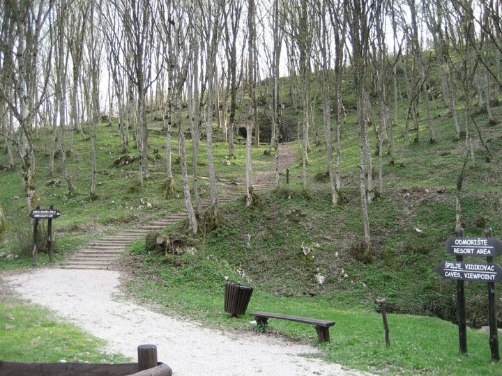
The Barać Caves lie near the village of Nova Kršlja, about 6 km east of Rakovica, between Slunj and Plitvice in Croatia. The three cave entrances are at Baraćeve brine. The caves were opened to visitors as early as 1892, abandoned and forgotten after the Second World War, and the Upper Cave reopened in July 2004. In 2022 Neanderthal tools were found in the Upper Barać Cave, adding interest for prehistory fans. Visits are guided, with a 45–60-minute talk in Croatian, English, German or Italian. It is cool inside all year, so bring a jacket even in summer. The caves are a great rainy-day plan and combine easily with Rastoke and Plitvice in one trip. Plan around two hours including the drive between sites.
- Opening hours
- Radno vrijeme nije pronađeno (vidi baraceve-spilje.hr).
- Admission
- Cijena nije pronađena.
- Time needed
- 2 sata
- Getting there
- From Bihać cross into Croatia, drive to Rakovica, then 6 km east to Nova Kršlja. (~35 min)
-

Croatia (Plitvice etc.)
Vrelo Une (Donja Suvaja, Srb)
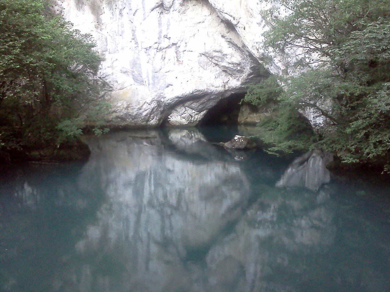
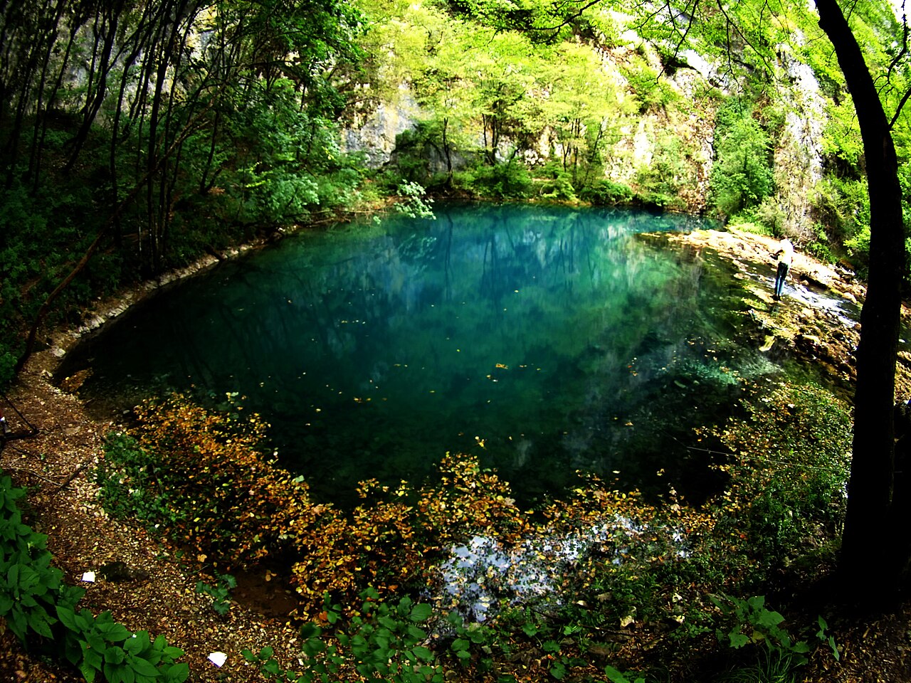
The Una rises in Croatia, in the village of Donja Suvaja near Srb, just a few…
The Una rises in Croatia, in the village of Donja Suvaja near Srb, just a few kilometres from the Bosnian border. Vrelo Une is a round, still pool of turquoise and blue-green water, surrounded by forest and steep cliffs below Plješevica and Stražbenica. Divers have descended almost 250 m without finding the bottom, so it is considered Croatia's deepest karst spring and one of the five deepest measured river springs in the world. About 20 m downstream the river forms its first travertine cascade. The spring has been a protected natural monument since 1968 and is managed by Natura Jadera. From the entrance it is an easy 15-minute walk. The water is only 7–8 °C and swimming is not allowed. There are no bins – take all litter with you. It's a longer trip, but a must for anyone who loves the Una.
- Opening hours
- Otvoreno oko šest mjeseci godišnje, u ljetnoj sezoni.
- Admission
- 3 € (podatak iz 2023.).
- Time needed
- pola dana
- Getting there
- From Bihać cross into Croatia towards Srb and Donja Suvaja; 15 minutes' walk from the entrance.
-

Nearby towns · 86 km from Bihać
Drvar i Titova pećina
Drvar is a small town in western Bosnia on the road between Bosansko Grahovo and Bosanski…
Drvar is a small town in western Bosnia on the road between Bosansko Grahovo and Bosanski Petrovac, at about 480 m above sea level. Its best-known sight is Tito's Cave: during the Second World War the Partisan Supreme Headquarters with Josip Broz Tito was based in the hills above town. On 25 May 1944 German forces launched an airborne raid on Drvar, Operation Rösselsprung, aiming to kill Tito. According to Wikipedia, about 200,000 people visit the cave each year. The town also has a memorial complex to fighters and civilians killed in the war, completed in May 1967, and a Roman road marker from around AD 100. Drvar is a longer trip from Bihać, and can be combined with Martin Brod and Rmanj Monastery in the south of Una National Park. It will appeal to anyone interested in 20th-century history.
- Admission
- Cijena nije pronađena.
- Time needed
- cijeli dan
- Getting there
- From Bihać take the M-5 via Bosanski Petrovac to Drvar. (~105 min)